
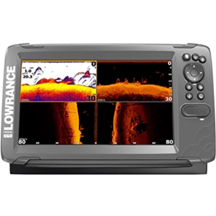
Lowrance Elite 9 CHIRP Fishfinder Chartplotter
$477.00
Lowrance Elite 9 CHIRP Fishfinder Chartplotter combines a 9-inch LED-backlit display with CHIRP sonar, DownScan Imaging, built-in GPS, and Navionics+ mapping. It is suited to anglers who want straightforward charting and clear below-boat detail in one unit.
Overview Lowrance Elite 9 CHIRP Fishfinder Chartplotter
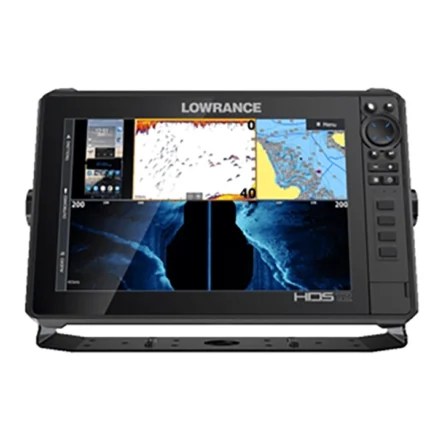
Lowrance Elite 9 CHIRP Fishfinder Chartplotter is a 9-inch unit built around CHIRP sonar and DownScan Imaging for anglers who want clearer fish and structure separation below the boat. The source data also points to a built-in GPS antenna, a Navionics+ chart card, and an HDI transom mount transducer as central parts of the package.
This model is a good fit for users who want a simpler chartplotter fishfinder workflow with a large bright screen and widely supported mapping. It combines everyday navigation with more detailed sonar interpretation, making it practical for inland and nearshore fishing where bottom reading and route awareness both matter.
Key Features
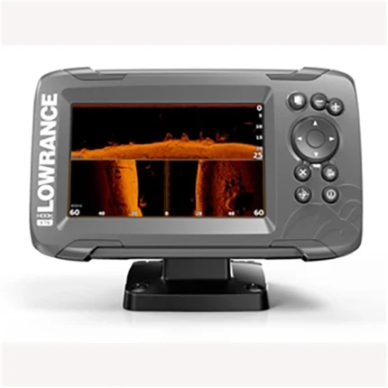
- CHIRP sonar support: Improves target separation and noise rejection for clearer fish and bait returns.
- DownScan Imaging: Adds more definition to structure and bottom features directly under the boat.
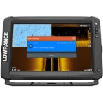
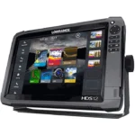
- 9-inch LED-backlit display: Provides a large bright screen for easy viewing while underway.
- Built-in GPS antenna: Supports navigation and route tracking without requiring an external GPS module.
- Navionics+ chart coverage: Adds detailed coastal and inland mapping for the U.S. and Canada, including broad regional coverage.
Applications
- Anglers who want stronger detail below the boat without moving to side-looking sonar models.
- Lake and coastal navigation where a large chartplotter display is helpful.
- Users who want a CHIRP and DownScan package with included mapping and transducer.
- Fishing around contour changes, bait schools, and bottom transitions.
Specifications
| Display size | 9 inches |
| Display type | LED-backlit color display |
| Sonar technology | CHIRP sonar and DownScan Imaging |
| GPS | Built-in GPS antenna |
| Mapping included | Navionics+ high-definition chart card |
| Base map details | Detailed U.S. map with over 3,000 lakes and rivers plus coastal contours to 1,000 ft |
| Transducer | HDI transom mount transducer |
What’s Included
- Navionics+ high-definition chart card
- HDI transom mount transducer
Additional box contents were not clearly specified in the source data and should be reviewed manually if a full packing list is required.
Reviews
There are no reviews yet.