
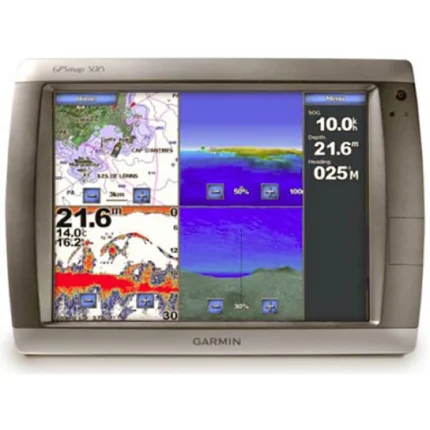
Garmin GPSMAP 5215 Touchscreen Multifunction Display
$2,160.00
Garmin GPSMAP 5215 Touchscreen Multifunction Display is a 15-inch Garmin network display for large helm installations. It combines touchscreen charting, Garmin Marine Network integration, video support, and optional radar, sonar, and weather expansion in a single large-format screen.
Overview Garmin GPSMAP 5215 Touchscreen Multifunction Display
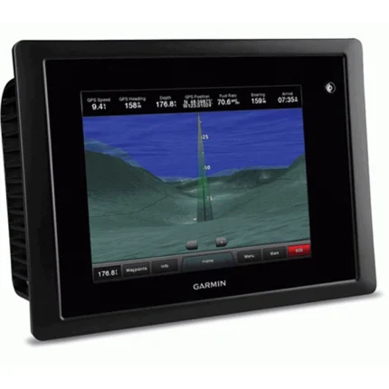
Garmin GPSMAP 5215 Touchscreen Multifunction Display is designed for larger helms that want a touch-controlled Garmin display at the center of the navigation system. The 15-inch XGA screen provides a broad viewing area for charting, while the menu-driven touchscreen interface simplifies direct on-screen control.
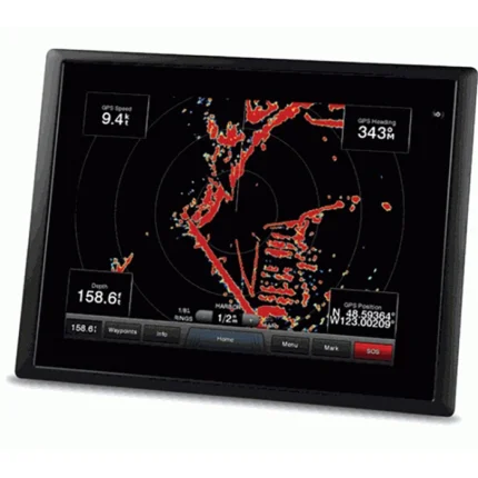
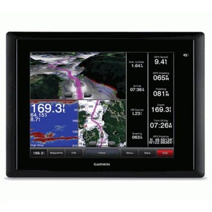
This model comes with BlueChart g2 coastal U.S. coverage, Alaska, Hawaii and Bahamas data, plus a worldwide basemap for other regions. It can share information across the Garmin Marine Network and can be expanded with radar, sonar, XM weather and radio, live video feeds and optional BlueChart g2 Vision chart data.
Key Features
- Large 15-inch touchscreen: The XGA display offers a wide charting surface for larger helm layouts and split-screen use.
- Preloaded coastal charting: BlueChart g2 coverage for the coastal United States, Alaska, Hawaii and the Bahamas supports ready-to-use navigation.
- Garmin Marine Network integration: The display can share information with other compatible Garmin chartplotters and remote sensors.
- Video and system monitoring: Video input and output support allow onboard camera feeds and related helm viewing tasks.
- Expandable multifunction role: Radar, sonar, XM weather and radio can be integrated into the display as part of a broader helm system.
- Vision card support: Optional BlueChart g2 Vision data adds satellite overlays, aerial photos, 3D views and Auto Guidance features.
Applications
- Large helm stations that need a touchscreen multifunction display as the main screen.
- Garmin network installations combining charting, radar, sonar, weather and video monitoring.
- Boats that prefer touch operation over a keyed interface on a big display.
Specifications
| Display | 15-inch XGA touchscreen display |
| Chart data | Preloaded BlueChart g2 cartography for the coastal U.S., Alaska, Hawaii and the Bahamas; worldwide basemap for other areas |
| Networking | High-speed Garmin Marine Network support |
| Video | Video input/output support |
| Expansion | Supports radar, sonar, XM satellite weather and radio |
| Chart expansion | Optional BlueChart g2 Vision via SD card |
| Included GPS hardware | GPS 17x NMEA 2000 receiver included in the box |
What’s Included
- GPSMAP 5215
- GPS 17x NMEA 2000
- Protective front cover
- Top & bottom snap covers
- Video cable assembly
- Power cable assembly
- NMEA 0183 cable
- NMEA 2000 drop cable
- NMEA 2000 power cable
- NMEA 2000 T-connector & terminator kit
- Flush mount hardware
- Flush mount gasket
- Marine grommet kit
- Owner’s manual on disk
- Quick reference guide
- Installation instruction

Reviews
There are no reviews yet.