
Garmin GPSMAP 526 Chartplotter
$324.00
Garmin GPSMAP 526 Chartplotter is a compact 5-inch Garmin chartplotter with worldwide basemap coverage and NMEA 2000 integration. It is designed for straightforward navigation use with fast screen redraws, SD card chart expansion, and support for XM weather and radio services.
Overview Garmin GPSMAP 526 Chartplotter
Garmin GPSMAP 526 Chartplotter is a compact navigation display built for helms that need a dedicated chartplotter without moving up to a large-format system. The 5-inch VGA screen, bright backlit presentation and high-speed processor keep chart viewing responsive during panning and route work.
It includes a worldwide basemap, an internal high-sensitivity GPS receiver and NMEA 2000 certification for broader compatibility with Garmin marine electronics. Optional BlueChart g2 Vision cards and GXM 51 support extend the unit into more detailed mapping and weather-aware navigation.
Key Features
- Bright 5-inch VGA display: The 480 x 640 screen and high brightness level help keep charts readable in strong daylight.
- Responsive chart handling: A fast processor improves redraw speed and panning smoothness while navigating.
- Ready-to-use basemap: The worldwide marine basemap supports out-of-box navigation without additional setup.
- Built-in GPS: A high-sensitivity internal GPS receiver provides accurate position information without external hardware.
- Chart and data expansion: The SD card slot supports BlueChart g2 Vision cards as well as saving routes, tracks and waypoints.
- Network compatibility: NMEA 2000 certification and GXM 51 support help integrate weather and other marine functions.
Applications
- Compact helm stations that need a dedicated Garmin chartplotter.
- Day boats and coastal vessels using optional weather and enhanced cartography.
- Installations that prioritize simplicity but still want SD and NMEA 2000 expansion.
Specifications
| Display | 5-inch VGA display, 480 x 640 pixels, over 800 nits brightness |
| Basemap | Preloaded worldwide marine basemap |
| GPS | Built-in high-sensitivity GPS receiver |
| Networking | NMEA 2000 certified |
| Weather compatibility | Compatible with GXM 51 for XM Satellite Radio and XM WX Satellite Weather |
| Storage | Single SD memory card slot |
| Dimensions | 5.9 x 6.4 x 2.9 in |
What’s Included
Package contents are not specified in the source data.
Frequently Asked Questions About Garmin GPSMAP 526 Chartplotter
What does the Garmin GPSMAP 526 Chartplotter offer for everyday navigation?
Garmin GPSMAP 526 Chartplotter is built to serve as a dedicated chartplotter for everyday helm navigation. With its 5-inch display with 480 x 640 pixels, preloaded BlueChart g2 cartography, and stated performance features, it is positioned for chart handling, route work, and practical use within a connected marine setup.
What is this unit like in everyday navigation use?
This chartplotter centers navigation around a 5-inch display with 480 x 640 pixels that gives chart data enough working space without overcomplicating operation. The processor is intended to keep chart browsing and panning responsive during routine navigation.
How does this chartplotter integrate with other onboard electronics?
This chartplotter supports NMEA 2000, which helps it exchange navigation data and serve as part of a broader helm installation. That is useful when charting needs to sit alongside vessel data, shared maps, or connected marine sensors on the same system.
What kind of boating setup is this chartplotter best suited to?
This chartplotter is most relevant for helm stations who need a dependable navigation screen at the helm. Its preloaded BlueChart g2 cartography also helps reduce setup time for boats that want charting ready from the start.
Related products
Garmin GPSMAP 1223 Chartplotter
$1,884.00
Garmin GPSMAP 1643 Chartplotter
$3,054.00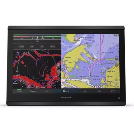
Garmin GPSMAP 8416 Chartplotter
$3,082.00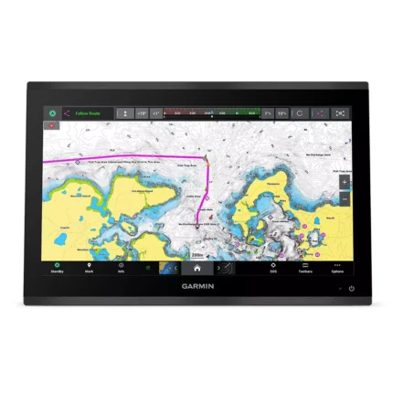
Garmin GPSMAP 9019 Chartplotter
$7,143.00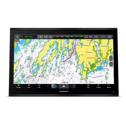
Garmin GPSMAP 9024 Chartplotter
$8,839.00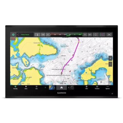
Garmin GPSMAP 9027 Chartplotter
$10,199.00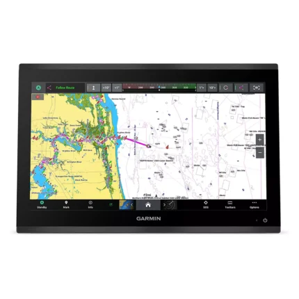
Garmin GPSMAP 9219 Chartplotter
$6,629.00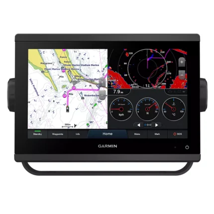
Reviews
There are no reviews yet.