
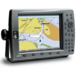
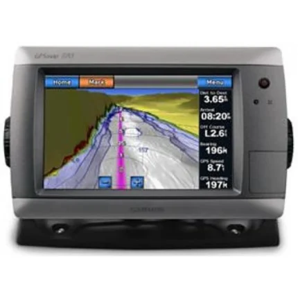
Garmin GPSMAP 3206 Network Chartplotter
$378.00
Garmin GPSMAP 3206 Network Chartplotter is a 6.4-inch Garmin chartplotter with built-in U.S. coastal mapping and network expansion capability. It is intended for helm setups that want a more compact display while still supporting video input and optional weather, radar, and sonar integration.
Overview Garmin GPSMAP 3206 Network Chartplotter
Garmin GPSMAP 3206 Network Chartplotter offers the plug-and-play style of Garmin's larger network chartplotters in a more compact 6.4-inch format. It comes with built-in U.S. coastal mapping, including Alaska and Hawaii, using BlueChart g2 data for smoother chart layering and easier panning and zooming.
The unit can operate as a standalone plotter or as part of a Garmin marine network with other displays and sensors. Support for XM weather, radar, sonar and up to two video inputs makes it suitable for helms that need charting first but still want broader system growth later.
Key Features
- Compact 6.4-inch display: The smaller form factor suits helms where installation space is more limited than on larger bridge layouts.
- Built-in coastal mapping: BlueChart g2 coverage for U.S. coastal areas, Alaska and Hawaii supports immediate navigation use.
- Network-capable design: The plotter can integrate with compatible Garmin displays and sensors as the system expands.
- 2D and 3D chart viewing: BlueChart g2 presentation supports both direct-overhead and Mariner's Eye style views.
- Video input support: Up to two video feeds can be shown for additional onboard monitoring tasks.
- Quick access controls: Soft key functions let the operator assign commonly used tasks to easier-to-reach controls.
Applications
- Smaller helms that still need a network-capable Garmin chartplotter.
- Coastal navigation where built-in U.S. mapping reduces setup time.
- Installations that want room to add weather, radar or sonar equipment later.
Specifications
| Display | 6.4-inch sunlight-readable color display |
| Chart data | Built-in U.S. coastal maps including Alaska and Hawaii with BlueChart g2 |
| Networking | Can operate standalone or in a marine network with other MFDs and sensors |
| Video | Accepts up to 2 video inputs |
| Expansion | Supports optional XM weather, radar and sonar integration |
| View options | Mariner's Eye 3D and 2D direct-overhead chart views |
What’s Included
Package contents are not specified in the source data.
Reviews
There are no reviews yet.