
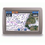
Garmin GPSMAP 6212 Chartplotter
$1,125.00
Garmin GPSMAP 6212 Chartplotter is a 12.1-inch marine chartplotter designed for clear, fast route planning and day-to-day navigation. It supports 10Hz High Sensitivity (External Only) and NMEA 2000, NMEA 0183, Garmin Marine Network for dependable chart handling and helm integration.
Overview Garmin GPSMAP 6212 Chartplotter
Garmin GPSMAP 6212 Chartplotter is a 12.1-inch marine chartplotter designed for clear, fast route planning and day-to-day navigation. It supports 10Hz High Sensitivity (External Only) and NMEA 2000, NMEA 0183, Garmin Marine Network for dependable chart handling and helm integration. Key onboard capabilities include 1024 x 768 pixels (XGA), 10Hz High Sensitivity (External Only), NMEA 2000, NMEA 0183, Garmin Marine Network.
In practical harbor use, the ability to utilize high-performance marine electronics for offshore navigation allows a captain to overlay radar returns directly onto the chart. This provides an unmatched level of safety when navigating through fog or heavy commercial traffic.
Key Features
- G Motion Technology: This proprietary system is the heart of the device, providing ultra-smooth map redraw and refresh rates. It ensures that your position on the map is updated without stuttering, which is critical during high-speed transit or when maneuvering in tight coastal environments.
- BlueChart g2 Cartography: The unit comes preloaded with highly detailed marine maps of the coastal United States, including Alaska, Hawaii, and the Bahamas. These charts provide essential data on depth contours, navigation aids, and port plans to enhance your overall safety.
- Networking Capabilities: This marine network chartplotter is designed for full system integration. It features multiple Ethernet ports and a full NMEA 2000 backbone, allowing you to share charts, waypoints, and routes across multiple displays and remote sensors on your boat.
- Live Video Integration: With dedicated video input and output options, you can monitor your engine room or aft deck directly on the 12.1-inch display. This eliminates the need for standalone monitors and streamlines your helm station into a single command center.
- Sunlight-Readable Display: The high-resolution XGA screen features a wide range of brightness settings. It remains perfectly visible under direct midday sun while offering an auto-dimming feature for comfortable, low-light navigation during night watches.
- Expandable Mapping with SD Slots: Two dedicated SD card slots allow for the immediate addition of BlueChart g2 Vision data. This unlocks high-resolution satellite imagery, 3D perspectives, and marine-grade auto guidance technology for optimized course planning.
Applications
In practical harbor use, the ability to utilize high-performance marine electronics for offshore navigation allows a captain to overlay radar returns directly onto the chart. This provides an unmatched level of safety when navigating through fog or heavy commercial traffic.
The big-screen navigation display ensures that small markers and distant AIS targets are clearly visible even from the back of the bridge, making it an well suited for larger motor yachts and sailing vessels. Furthermore, the unit is a powerful tool for those who perform their own vessel maintenance or require constant monitoring of onboard systems.
Specifications
| Display Size | 12.1 inches Diagonal |
| Resolution | 1024 x 768 pixels (XGA) |
| Networking | NMEA 2000, NMEA 0183, Garmin Marine Network |
| GPS Receiver | 10Hz High Sensitivity (External Only) |
| Waterproof Rating | IPX7 Standards |
| Expansion | 2x SD Card Slots for Vision Mapping |
| Dimensions | 13.1″ x 9.7″ x 3.8″ |
| Product Warranty | 1-Year Limited Manufacturer Warranty |
What’s Included
- 1x Garmin GPSMAP 6212 Chartplotter Unit
- 1x GPS 17x NMEA 2000 External Antenna with multiple adapters
- 1x Bail mount and knobs for adjustable installation
- 1x Protective front sun cover
- 1x Flush mount gasket and high-grade mounting hardware
- 1x Power and NMEA 0183/2000 cable kit
- 1x Marine grommet kit and video cable
- 1x Comprehensive manual case and user documentation
Frequently Asked Questions About Garmin GPSMAP 6212 Chartplotter
What does the Garmin GPSMAP 6212 Chartplotter offer for everyday navigation?
Garmin GPSMAP 6212 Chartplotter is designed as a helm navigation display for mariners who need clear chart viewing and reliable onboard integration. Its 12.1-inch display with 1024 x 768 pixels (XGA) and preloaded BlueChart g2 coverage for the USA and Bahamas support route planning and day-to-day navigation, while the stated processing platform helps keep helm.
How does the display support chart viewing at the helm?
This chartplotter centers navigation around a 12.1-inch display with 1024 x 768 pixels (XGA) that gives chart data enough working space without overcomplicating operation. The processing platform is described to keep chart browsing and menu response responsive at the helm.
How does this chartplotter integrate with other onboard electronics?
This chartplotter is intended to work within a broader electronics layout by supporting Garmin Marine Network, NMEA 2000, and NMEA 0183, camera input support, and radar connectivity where stated. This gives the display a stronger role as a central charting screen when other sensors or onboard data also need to be viewed at the helm.
Who is this display most relevant for?
This chartplotter makes the most sense for cruising boats and general navigation helms that want a chartplotter focused on route work, visibility, and helm integration. Its preloaded BlueChart g2 coverage for the USA and Bahamas also helps reduce setup time for boats that want charting ready from the start.
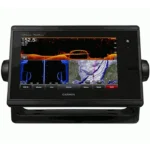
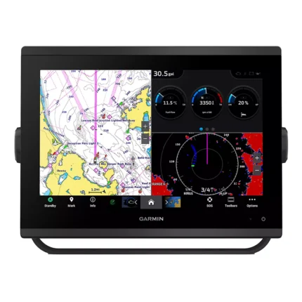
Related products
Garmin GPSMAP 1243 Chartplotter
$1,754.00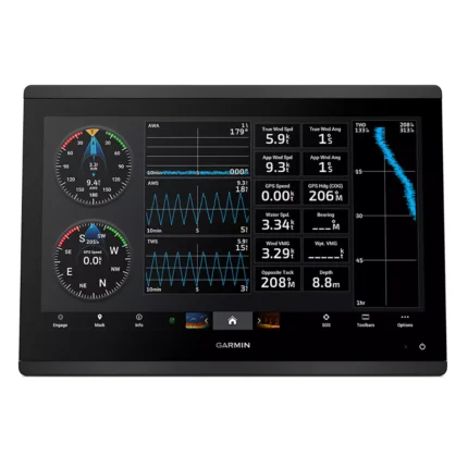
Garmin GPSMAP 1623 Chartplotter
$3,184.00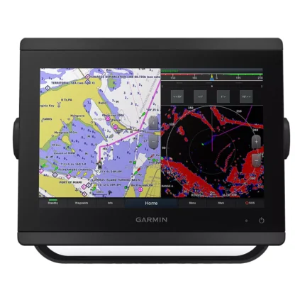
Garmin GPSMAP 8412 Chartplotter
$2,000.00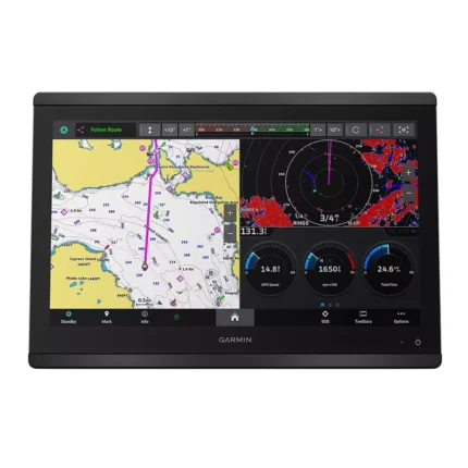
Garmin GPSMAP 8616 Chartplotter
$3,136.00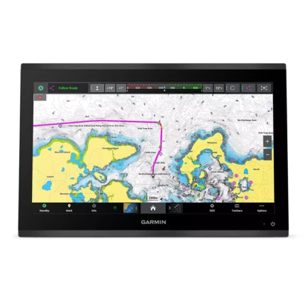
Garmin GPSMAP 9019 Chartplotter
$7,143.00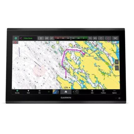
Garmin GPSMAP 9022 Chartplotter
$7,539.00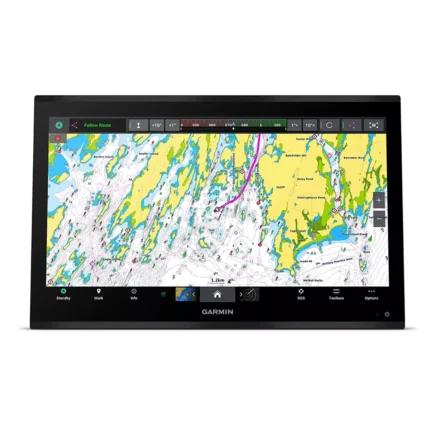
Garmin GPSMAP 9024 Chartplotter
$8,839.00
Reviews
There are no reviews yet.