
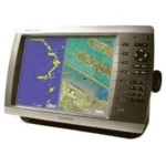
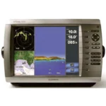
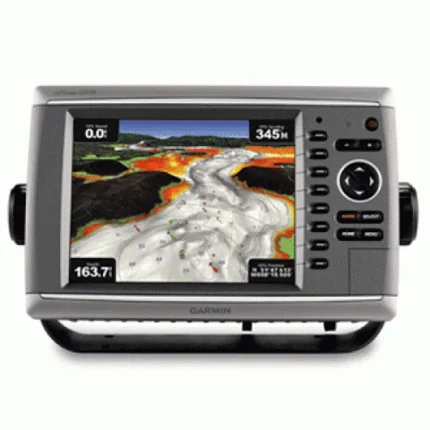
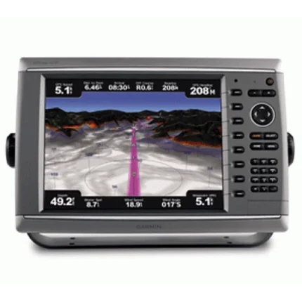
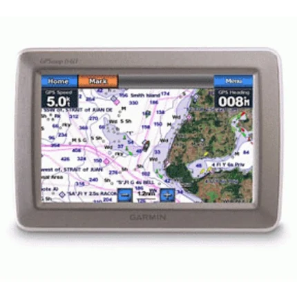
Garmin GPSMAP 4010 Chartplotter
$719.00
Garmin GPSMAP 4010 Chartplotter is a large-format Garmin chartplotter designed as a central display for connected marine systems. It combines satellite-enhanced basemap viewing, video input, BlueChart g2 Vision expansion, and Garmin Marine Network integration.
Overview Garmin GPSMAP 4010 Chartplotter
Garmin GPSMAP 4010 Chartplotter is built to act as a central display in a marine network while keeping the focus on charting and helm visibility. It uses a worldwide basemap enhanced by high-quality satellite imagery and supports optional BlueChart g2 Vision cards for higher-detail navigation views.
The unit can share information with other chartplotters on the Garmin Marine Network and can be expanded with radar, sonar, XM weather and radio features. Video input support also makes it useful for monitoring parts of the vessel such as the engine room from the main helm display.
Key Features
- Central charting display: The unit is designed as a primary chartplotter for helms that want to build around a Garmin networked system.
- Worldwide satellite-enhanced basemap: The included base chart view is supported by optional BlueChart g2 Vision cards for added detail.
- Network expansion: Garmin Marine Network support allows the plotter to share information with other MFDs and connected sensors.
- Video monitoring support: A live video feed can be displayed from onboard camera locations such as the engine room.
- Broader electronics integration: Radar, sonar, XM weather and radio functions can be added through compatible Garmin components.
- NMEA 2000 compatibility: The display can work with compatible marine electronics in a wider networked installation.
Applications
- Central chartplotter use in Garmin-based helm layouts.
- Boats that want charting plus video monitoring and future network expansion.
- Installations that use optional radar, sonar or XM services with Garmin displays.
Specifications
| Basemap | Worldwide basemap with high-quality satellite imagery |
| Chart expansion | Optional BlueChart g2 Vision via SD card slot |
| Networking | High-speed Garmin Marine Network support |
| Video | Video input for onboard camera feed |
| Electronics integration | Compatible with radar, sonar, XM weather and radio additions |
| Data interface | NMEA 2000 connectivity |
| Included GPS hardware | Includes GPS 17x NMEA 2000 receiver |
What’s Included
- GPSMAP 4010
- GPS 17x NMEA 2000
- Bail mount and knobs
- Protective front cover
- Top and bottom snap covers
- Video cable assembly
- Power cable assembly
- NMEA 0183 cable
- NMEA 2000 drop cable
- NMEA 2000 10 m backbone cable
- NMEA 2000 power cable
- NMEA 2000 T-connector & terminator kit
- Flush mount hardware
- Flush mount gasket
- Marine grommet kit
- Owner’s manual on disk
- Quick reference guide
- Installation instructions

Reviews
There are no reviews yet.