
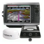
Garmin GPSMAP 4012 Network Chartplotter
$1,035.00
Garmin GPSMAP 4012 Network Chartplotter is a 12.1-inch big-screen Garmin display built for central helm charting and network integration. It combines a bright XGA screen, Garmin Marine Network connectivity, video support, and BlueChart g2 Vision expansion capability.
Overview Garmin GPSMAP 4012 Network Chartplotter
Garmin GPSMAP 4012 Network Chartplotter is intended to serve as a central display in a Garmin-connected helm. The 12.1-inch sunlight-readable XGA screen and flat-panel style make it suitable for larger navigation stations that need a chartplotter with room for additional system integration.
The unit supports Garmin Marine Network peripherals, video inputs, NMEA 2000 and multiple NMEA 0183 ports, making it useful in installations that combine navigation with radar, sounder, AIS, DSC and onboard monitoring. Optional BlueChart g2 Vision support adds higher-detail chart presentation and route-planning tools.
Key Features
- Large 12.1-inch display: The bright XGA panel helps keep chart information readable in direct sunlight and at longer helm viewing distances.
- Garmin network integration: Three network ports allow connection to compatible radar, GSD 22 sounder and other Garmin displays.
- Vision card expansion: Optional BlueChart g2 Vision data adds satellite imagery, aerial photos, 3D views and Auto Guidance features.
- Useful helm controls: Backlit and alphanumeric keypads support easier operation and data entry during day or night use.
- Video and data interfaces: Video inputs and multiple NMEA ports support broader integration across navigation and onboard monitoring tasks.
- Protected settings and alarms: Power-down backup retains settings, while navigation alarms support day-to-day route awareness.
Applications
- Main chartplotter duty on larger boats using multiple Garmin helm components.
- Garmin systems that need radar, sounder and camera data brought onto one screen.
- Helm layouts where a large keyed chartplotter is preferred over a touch display.
Specifications
| Display | 12.1-inch XGA sunlight-readable display, 1024 x 768 pixels, 1400 nits |
| GPS | WAAS-enabled 12 parallel channel GPS sensor with 30 ft cable |
| Networking | 3 built-in Garmin Marine Network ports |
| Video | 2 video inputs and 1 XGA PC monitor video output |
| Data interfaces | NMEA 2000; 4 NMEA 0183 inputs and 2 NMEA 0183 outputs |
| Storage | 1 SD memory card slot |
| Water rating | IPX7 |
| Dimensions | 14.8 x 9.5 x 4.6 in |
What’s Included
- GPSMAP 4012
- Bail mount and knobs
- GPS 17 (flush mount or use included pole mount adapter)
- Protective front cover
- Power cable assembly
- Video cable assembly
- Flush mount hardware
- In-line fuse kit for GPS 17
- Marine grommet kit
- Crimp connectors
- Owner’s Manual and Quick Reference Guide
Frequently Asked Questions About Garmin GPSMAP 4012 Network Chartplotter
What is the Garmin GPSMAP 4012 Network Chartplotter designed for?
Garmin GPSMAP 4012 Network Chartplotter is built to serve as a dedicated chartplotter for everyday helm navigation. With its 12.1-inch display with 1024 x 768 pixels, preloaded BlueChart g2 cartography, and stated performance features, it is positioned for chart handling, route work, and practical use within a connected marine setup.
How does this chartplotter handle screen readability and speed?
This chartplotter centers navigation around a 12.1-inch display with 1024 x 768 pixels that gives chart data enough working space without overcomplicating operation. The processing platform is described to keep chart browsing and menu response responsive at the helm.
What networking support does this unit provide?
This chartplotter is intended to work within a broader electronics layout by supporting Garmin Marine Network, NMEA 2000, and NMEA 0183, camera input support, and radar connectivity where stated. This gives the display a stronger role as a central charting screen when other sensors or onboard data also need to be viewed at the helm.
Where does this unit make the most sense on board?
This chartplotter is most relevant for cruising boats and general navigation helms who need a dependable navigation screen at the helm. Its preloaded BlueChart g2 cartography also helps reduce setup time for boats that want charting ready from the start.
Related products
Garmin GPSMAP 1243 Chartplotter
$1,754.00
Garmin GPSMAP 1643 Chartplotter
$3,054.00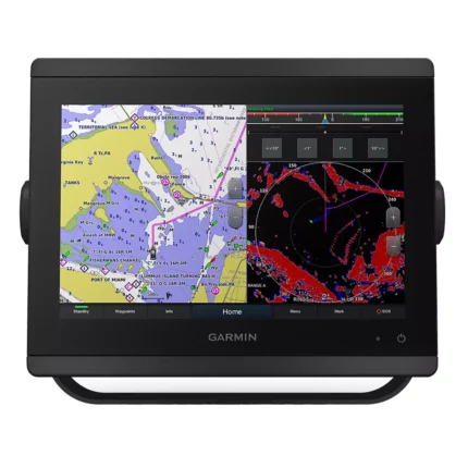
Garmin GPSMAP 8410 Chartplotter
$1,513.00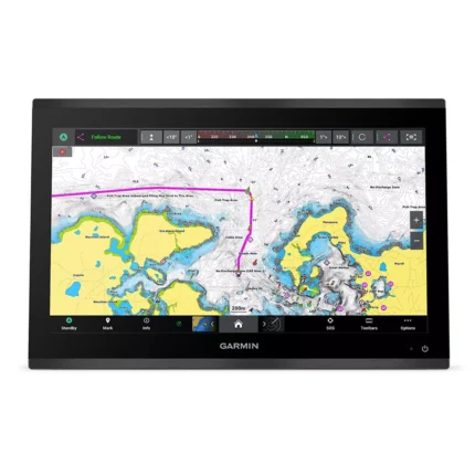
Garmin GPSMAP 9019 Chartplotter
$7,143.00
Garmin GPSMAP 9022 Chartplotter
$7,539.00
Garmin GPSMAP 9222 Chartplotter
$7,600.00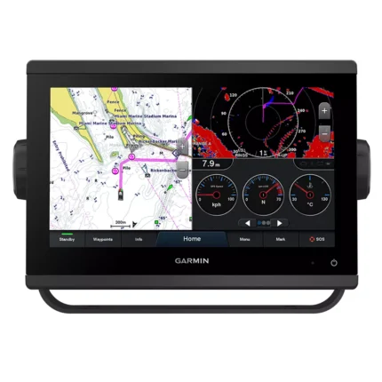
Garmin GPSMAP 923 Chartplotter
$974.00
Reviews
There are no reviews yet.