
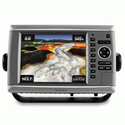
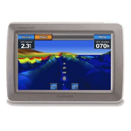
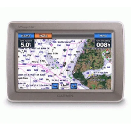
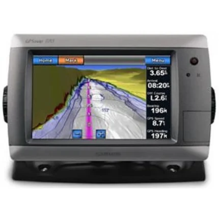
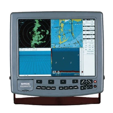
Garmin GPSMAP 6012 Network Chartplotter
$1,242.00
Garmin GPSMAP 6012 Network Chartplotter is a big-screen chartplotter with worldwide satellite basemap, video connectivity, and Garmin Marine Network support for sonar, radar, and weather integration.
Overview Garmin GPSMAP 6012 Network Chartplotter
Garmin GPSMAP 6012 Network Chartplotter is designed as a large-format charting hub for Garmin Marine Network installations. It combines a vivid big-screen display with a worldwide basemap that uses high-quality satellite imagery, giving operators a more modern visual reference than a basic vector-only map.
This model supports video input and output, optional BlueChart g2 Vision mapping, and integration with compatible radar, sonar, and XM weather modules. It is intended for boats that need a primary navigation display with room to grow into a broader Garmin system.
Key Features
- Worldwide satellite basemap: Provides a broad chart reference with satellite image support as the base mapping layer.
- Big-screen display: The larger screen format helps with chart review and network data visibility.
- Video input and output: Supports camera or live video use from the helm.
- Garmin Marine Network support: Allows connection to radar, sonar, and weather sources.
- BlueChart g2 Vision compatible: Optional cards add satellite overlay, aerial photos, 3D views, and Auto Guidance.
Applications
A strong fit for larger cruising and fishing vessels that want a main chartplotter display with room for weather, radar, sonar, and video integration. The worldwide basemap also helps when a broad geographic reference is needed before adding local chart detail.
It is useful where one display is expected to anchor a Garmin marine electronics network and coordinate multiple onboard inputs.
Specifications
| Product type | Network chartplotter |
| Mapping | Worldwide basemap with high-quality satellite images |
| Video support | Video input and output |
| Network support | Garmin Marine Network for radar, sonar, and XM weather integration |
| Mapping expansion | Optional BlueChart g2 Vision SD cards |
| GPS hardware | GPS 17x NMEA 2000 receiver included |
What’s Included
- GPSMAP 6012 unit
- Top and bottom snap covers
- Bail mount and knobs
- GPS 17x NMEA 2000 receiver
- Protective front cover
- Power cable
- Video cable
- NMEA 0183 cable
- NMEA 2000 drop cable
- NMEA 2000 10 m backbone cable
- NMEA 2000 power cable
- NMEA 2000 T-connector and terminator kit
- Flush mount hardware
- Flush mount gasket
- Marine grommet kit
- Manual case with user documentation

Reviews
There are no reviews yet.