
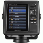
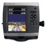
Garmin GPSMAP 546 GPS Chartplotter
$324.00
Garmin GPSMAP 546 GPS Chartplotter is a 5-inch color chartplotter with preloaded U.S. coastal and inland maps, high-sensitivity GPS, and NMEA 2000 connectivity.
Overview Garmin GPSMAP 546 GPS Chartplotter
Garmin GPSMAP 546 GPS Chartplotter is a compact color chartplotter built around a bright 5-inch VGA display and a high-sensitivity internal GPS receiver. It arrives preloaded with BlueChart g2 coastal mapping for the United States, including Alaska, Hawaii, and the Bahamas, plus over 14,000 U.S. lakes and rivers.
The unit is designed for boaters who want detailed base mapping and straightforward chart operation in a smaller footprint. Optional BlueChart g2 Vision cards add 3D views, satellite imagery, aerial photos, and Auto Guidance, while NMEA 2000 support helps with integration into a broader electronics setup.
Key Features
- Bright 5-inch VGA display: Over 800 nits of brightness improves visibility in direct sunlight.
- Preloaded coastal and inland maps: Useful for both U.S. coastal routes and freshwater navigation.
- High-sensitivity internal GPS: Provides dependable position tracking without requiring external GPS hardware.
- BlueChart g2 Vision support: Optional SD cards add more advanced chart views and route guidance tools.
- NMEA 2000 certified: Makes integration easier with compatible onboard electronics.
Applications
Well suited to skippers who want one compact chartplotter for both coastal boating and inland waters. The built-in mapping makes it a practical fit for boats moving between saltwater and freshwater use.
It is also appropriate where a bright helm display and expandable mapping are more important than bundled sonar functions.
Specifications
| Product type | GPS chartplotter |
| Display | 5-inch VGA display, over 800 nits brightness |
| GPS | High-sensitivity internal GPS receiver |
| Mapping | BlueChart g2 coastal U.S. mapping plus over 14,000 U.S. lakes and rivers |
| Expansion | Single SD memory card slot with BlueChart g2 Vision support |
| Networking | NMEA 2000 certified |
What’s Included
Package contents were not clearly specified in the source data.
Frequently Asked Questions About Garmin GPSMAP 546 GPS Chartplotter
What does the Garmin GPSMAP 546 GPS Chartplotter offer for everyday navigation?
Garmin GPSMAP 546 GPS Chartplotter is designed for freshwater navigation on lakes, rivers, and reservoirs rather than open-coast charting. Its 5-inch VGA display, high-sensitivity GPS, and preloaded inland mapping for more than 14,000 U.S. lakes and rivers support everyday route planning on inland waters.
How does this unit support freshwater navigation?
This chartplotter focuses on inland use with coverage for lakes, rivers, and reservoirs instead of general coastal mapping. The 5-inch VGA display and responsive processor help when navigating narrow channels, contour-heavy areas, and smaller freshwater helm stations.
What navigation support does this unit provide beyond the screen?
This chartplotter includes a high-sensitivity internal GPS for stable positioning and supports both NMEA 2000 and NMEA 0183 for system integration. That makes it easier to use the display as either a stand-alone inland navigator or part of a broader electronics setup.
Who is this inland chartplotter most relevant for?
This chartplotter is aimed primarily at freshwater boats and inland helms who spend most of their time on domestic lakes, rivers, and reservoirs. Because the mapping focus is inland rather than general offshore coverage, it fits best on boats that want dedicated freshwater route support.
Related products
Garmin GPSMAP 1022 Chartplotter
$909.00
Garmin GPSMAP 1223 Chartplotter
$1,884.00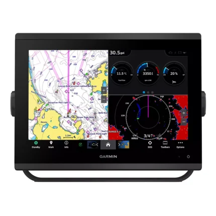
Garmin GPSMAP 1243 Chartplotter
$1,754.00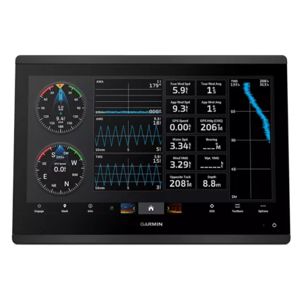
Garmin GPSMAP 1623 Chartplotter
$3,184.00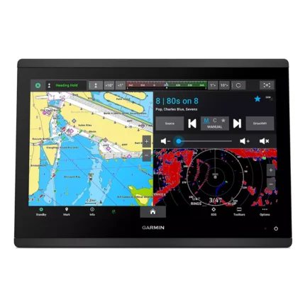
Garmin GPSMAP 1643 Chartplotter
$3,054.00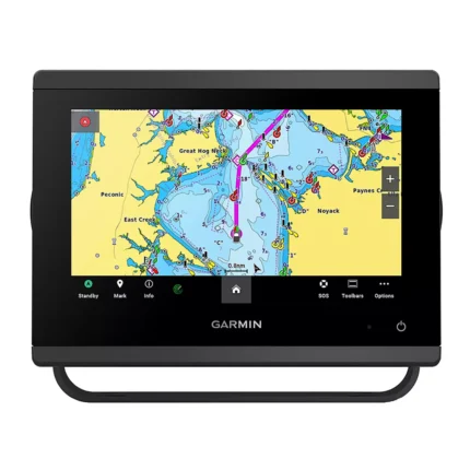
Garmin GPSMAP 743 Chartplotter
$640.00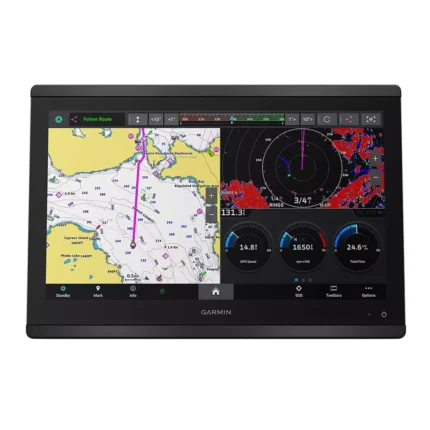
Garmin GPSMAP 8616 Chartplotter
$3,136.00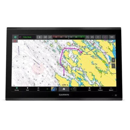
Reviews
There are no reviews yet.