

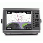
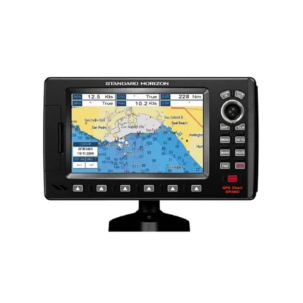
Garmin GPSMAP 620 GPS Chartplotter
$297.00
Garmin GPSMAP 620 GPS Chartplotter is a waterproof touchscreen navigator with dedicated marine and automotive modes, making it suitable for boat and road use from one device.
Overview Garmin GPSMAP 620 GPS Chartplotter
Garmin GPSMAP 620 GPS Chartplotter is built as a dual-use navigation device for both marine and automotive environments. The waterproof IPX7 housing, 5.2-inch WVGA touchscreen, and worldwide satellite basemap give it the flexibility to move between the boat and the vehicle.
In marine mode it supports 3D chart views and optional BlueChart g2 Vision features, while in automotive mode it can provide turn-by-turn road guidance when paired with optional automotive accessories and City Navigator mapping. This makes it a practical option for boaters who travel with the same unit on and off the water.
Key Features
- Dual marine and automotive modes: The interface adapts to boating or road navigation depending on how the unit is used.
- 5.2-inch WVGA touchscreen: Touch operation simplifies route entry and menu navigation.
- Waterproof portable design: IPX7 construction supports use in exposed marine environments.
- Optional BlueChart g2 Vision support: Marine navigation can be expanded with 3D views and Auto Guidance features.
- Automotive guidance capability: With optional automotive accessories and mapping, the unit supports spoken directions and road routing.
Applications
Well suited to trailer boats, tenders, and users who want a single navigation device that can go from boat to vehicle. It is also useful as a portable backup chartplotter that does not have to stay permanently installed.
The marine mode suits coastal and inland navigation, while the automotive mode adds flexibility for road trips between launch points or destinations.
Specifications
| Product type | Dual-mode GPS chartplotter |
| Display | 5.2-inch WVGA touchscreen |
| Waterproof rating | IPX7 |
| Mapping | Preloaded worldwide satellite basemap |
| Marine interfaces | NMEA 0183 compliant |
| Modes | Dedicated marine and automotive modes |
What’s Included
- GPSMAP 620 unit
- Preloaded worldwide satellite basemap
- Marine mount with integrated vehicle power cable
- Lithium-ion battery pack
- AC charger
- USB cable
- Protective cover
- Owner’s manual
- Quick reference guide
- Installation guide
Frequently Asked Questions About Garmin GPSMAP 620 GPS Chartplotter
What is the Garmin GPSMAP 620 GPS Chartplotter designed for?
Garmin GPSMAP 620 GPS Chartplotter is designed as a helm navigation display for mariners who need clear chart viewing and reliable onboard integration. Its 5.2-inch VGA display and preloaded BlueChart g2 cartography support route planning and day-to-day navigation, while the stated processing platform helps keep helm use responsive.
How does the touchscreen help at the helm?
This chartplotter uses a 5.2-inch VGA display and touchscreen interface to make chart browsing, menu access, and route adjustments more direct at the helm. The processing platform is described to keep chart browsing and menu response responsive at the helm.
Can this display work as part of a wider helm system?
This chartplotter supports NMEA 0183, which helps it exchange navigation data and serve as part of a broader helm installation. That is useful when charting needs to sit alongside vessel data, shared maps, or connected marine sensors on the same system.
Where does this unit make the most sense on board?
This chartplotter is most relevant for trailer boats who need a dependable navigation screen at the helm. Its preloaded BlueChart g2 cartography also helps reduce setup time for boats that want charting ready from the start.
Related products
Garmin GPSMAP 1022 Chartplotter
$909.00
Garmin GPSMAP 1223 Chartplotter
$1,884.00
Garmin GPSMAP 8410 Chartplotter
$1,513.00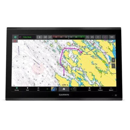
Garmin GPSMAP 9022 Chartplotter
$7,539.00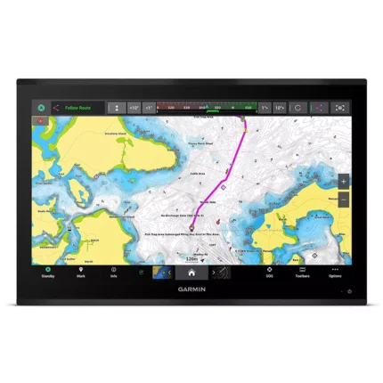
Garmin GPSMAP 9027 Chartplotter
$10,199.00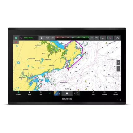
Garmin GPSMAP 9224 Chartplotter
$8,904.00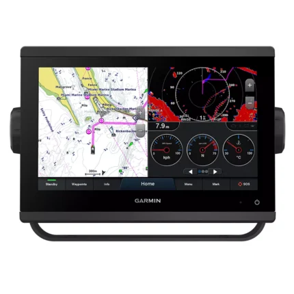
Reviews
There are no reviews yet.