
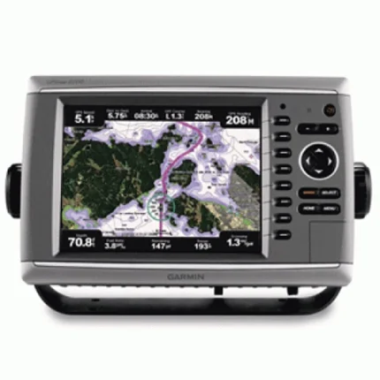
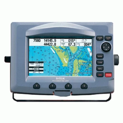
Garmin GPSMAP 640 GPS Chartplotter
$171.00
Garmin GPSMAP 640 GPS Chartplotter is a touchscreen marine chartplotter with dual marine and automotive navigation modes. It includes BlueChart g2 and City Navigator NT plus a high-sensitivity GPS receiver for boat-to-road travel.
Overview Garmin GPSMAP 640 GPS Chartplotter
Garmin GPSMAP 640 GPS Chartplotter is a touchscreen marine chartplotter with dual marine and automotive navigation modes. It includes BlueChart g2 and City Navigator NT plus a high-sensitivity GPS receiver for boat-to-road travel. Key onboard capabilities include 800 x 480 pixels (WVGA), BlueChart g2 and City Navigator NT.
In practical scenario, an angler can start their day by using the automotive mode to navigate to a remote boat ramp in an unfamiliar region of the United States. The spoken turn-by-turn directions ensure they reach the marina without distraction.
Key Features
- Automatic Mode Switching: One of the most significant engineering triumphs of this unit is its ability to recognize its environment. When secured in the included marine mount, the system automatically activates its chartplotter interface.
- High-Resolution WVGA Touchscreen: The 5.2-inch display features a WVGA resolution that offers 50% more pixels than standard displays in its class. This results in sharper text, more vibrant map colors, and improved sunlight readability, which is critical for safety when navigating in high-glare maritime environments.
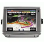
- Marine Mapping: In marine mode, the system utilizes BlueChart g2 data to provide essential navigation aids. Users can access tidal information, current predictions, depth contours, and port plans.
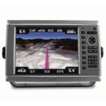
- Road Navigation: Once in automotive mode, the device functions as a premium turn-by-turn navigator. It provides spoken street names, allowing you to keep your eyes on the road.
- NMEA 0183 Networking: For those looking to integrate their portable unit into a larger vessel setup, this device is NMEA 0183 compliant. This allows for the easy transfer of waypoint data and coordination with other onboard marine instruments, enhancing overall situational awareness.
- Weather and Traffic Compatibility: By adding the optional GXM 40 antenna and a subscription, the unit can receive XM WX satellite weather data while at sea and XM NavTraffic information while on land. This allows for real-time avoidance of storms or road congestion, making it a powerful tool for safety and efficiency.
Applications
Garmin GPSMAP 640 GPS Chartplotter. In practical scenario, an angler can start their day by using the automotive mode to navigate to a remote boat ramp in an unfamiliar region of the United States.
The spoken turn-by-turn directions ensure they reach the marina without distraction. Once the boat is launched, the unit is simply moved from the car cradle to the marine mount, where it instantly transforms into a chartplotter.
Specifications
| Display Size | 5.2 inches Diagonal |
| Resolution | 800 x 480 pixels (WVGA) |
| Display Type | Touchscreen (High-Sensitivity) |
| Waterproof Rating | IPX7 Standards |
| Preloaded Maps | BlueChart g2 and City Navigator NT |
| Battery Life | Up to 9 Hours (Lithium-ion) |
| GPS Receiver | High-Sensitivity Internal |
| Networking | NMEA 0183 Compliant |
| Expansion | SD Card Slot |
| Product Warranty | 1-Year Limited Manufacturer Warranty |
What’s Included
- 1x Garmin GPSMAP 640 Unit
- 1x Marine Mount with Power/Data Cable
- 1x Automotive Friction Mount
- 1x Automotive Power Cable
- 1x Lithium-ion Battery Pack
- 1x USB Cable
- 1x Protective Cover
- 1x Documentation and Installation Manual

Reviews
There are no reviews yet.