
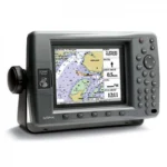
Garmin GPSMAP 3005C Network Chartplotter
$297.00
Garmin GPSMAP 3005C Network Chartplotter is a compact 5-inch marine chartplotter with WAAS positioning, full VGA color display, and Garmin Marine Network support. It is suited to boaters who want a dedicated navigation screen that can also expand with weather, sonar, and chart card options.
Overview Garmin GPSMAP 3005C Network Chartplotter
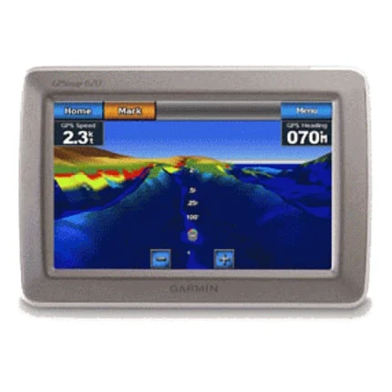
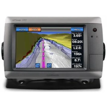
The Garmin GPSMAP 3005C Network Chartplotter is a dedicated marine chartplotter built to serve either as a standalone navigator or as part of a Garmin Marine Network installation. Its 5-inch VGA color display, WAAS-enabled GPS sensor, and broad waypoint and route handling make it a practical navigation hub for smaller to mid-size helms.
This model also supports optional weather and sonar add-ons, which makes it useful for boaters who want to keep a chartplotter-led system rather than moving to an all-in-one touch display. The unit is designed around hard-key operation, proven chart card support, and durable marine construction.
Key Features
- 5-inch sunlight-readable VGA color display keeps navigation data visible in bright helm conditions.
- WAAS-enabled 12-parallel-channel GPS sensor supports accurate positioning and reliable route work.
- Built-in Garmin Marine Network allows the unit to connect with multiple displays and sensors in a broader system.
- Support for optional GDL 30/30A weather/audio and optional GSD 20 remote sounder broadens system capability when needed.
- Worldwide basemap, Garmin BlueChart support, and MapSource compatibility give the unit flexible chart options.
- 4,000 waypoints, 50 reversible routes, and 10,000-point track logging support serious trip planning and track review.
Applications
- Dedicated navigation stations that need a reliable chartplotter with hard keys and WAAS positioning.
- Boats expanding an older Garmin Marine Network with additional screens or chart stations.
- Operators who want optional weather and sonar integration but still prefer a chartplotter-first setup.
Specifications
| Display | 5-inch diagonal 256-color TFT full VGA sunlight-readable display |
| GPS | WAAS-enabled 12 parallel channel GPS sensor |
| Networking | Built-in high-speed Garmin Marine Network |
| Maps | Worldwide basemap plus BlueChart / MapSource compatibility |
| Waypoints | 4,000 user waypoints |
| Routes | 50 reversible routes, 300 waypoints per route |
| Track Log | 10,000-point automatic track log, 15 saved tracks |
| Rating | IEC 60529 IPX7 |
What’s Included
- GPSMAP 3005C unit
- GPS 17 WAAS-enabled sensor
- Power/data cable
- Bail mount
- Unit cover

Reviews
There are no reviews yet.