
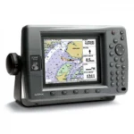
Garmin GPSMAP 3005C Network Chartplotter
$297.00
Garmin GPSMAP 3005C Network Chartplotter is a compact 5-inch marine chartplotter with WAAS positioning, full VGA color display, and Garmin Marine Network support. It is suited to boaters who want a dedicated navigation screen that can also expand with weather, sonar, and chart card options.
Overview Garmin GPSMAP 3005C Network Chartplotter
The Garmin GPSMAP 3005C Network Chartplotter is a dedicated marine chartplotter built to serve either as a standalone navigator or as part of a Garmin Marine Network installation. Its 5-inch VGA color display, WAAS-enabled GPS sensor, and broad waypoint and route handling make it a practical navigation hub for smaller to mid-size helms.
This model also supports optional weather and sonar add-ons, which makes it useful for boaters who want to keep a chartplotter-led system rather than moving to an all-in-one touch display. The unit is designed around hard-key operation, proven chart card support, and durable marine construction.
Key Features
- 5-inch sunlight-readable VGA color display keeps navigation data visible in bright helm conditions.
- WAAS-enabled 12-parallel-channel GPS sensor supports accurate positioning and reliable route work.
- Built-in Garmin Marine Network allows the unit to connect with multiple displays and sensors in a broader system.
- Support for optional GDL 30/30A weather/audio and optional GSD 20 remote sounder broadens system capability when needed.
- Worldwide basemap, Garmin BlueChart support, and MapSource compatibility give the unit flexible chart options.
- 4,000 waypoints, 50 reversible routes, and 10,000-point track logging support serious trip planning and track review.
Applications
- Dedicated navigation stations that need a reliable chartplotter with hard keys and WAAS positioning.
- Boats expanding an older Garmin Marine Network with additional screens or chart stations.
- Operators who want optional weather and sonar integration but still prefer a chartplotter-first setup.
Specifications
| Display | 5-inch diagonal 256-color TFT full VGA sunlight-readable display |
| GPS | WAAS-enabled 12 parallel channel GPS sensor |
| Networking | Built-in high-speed Garmin Marine Network |
| Maps | Worldwide basemap plus BlueChart / MapSource compatibility |
| Waypoints | 4,000 user waypoints |
| Routes | 50 reversible routes, 300 waypoints per route |
| Track Log | 10,000-point automatic track log, 15 saved tracks |
| Rating | IEC 60529 IPX7 |
What’s Included
- GPSMAP 3005C unit
- GPS 17 WAAS-enabled sensor
- Power/data cable
- Bail mount
- Unit cover
Frequently Asked Questions About Garmin GPSMAP 3005C Network Chartplotter
What is the Garmin GPSMAP 3005C Network Chartplotter designed for?
Garmin GPSMAP 3005C Network Chartplotter is designed as a helm navigation display for mariners who need clear chart viewing and reliable onboard integration. The 5-inch VGA display and stated processing platform support route planning and day-to-day navigation while keeping chart work responsive at the helm.
What is this unit like in everyday navigation use?
This chartplotter centers navigation around a 5-inch VGA display that gives chart data enough working space without overcomplicating operation. The processing platform is described to keep chart browsing and menu response responsive at the helm.
Can this display work as part of a wider helm system?
This chartplotter is intended to work within a broader electronics layout by supporting Garmin Marine Network. This gives the display a stronger role as a central charting screen when other sensors or onboard data also need to be viewed at the helm.
What kind of boating setup is this chartplotter best suited to?
This chartplotter is most relevant for cruising boats and general navigation helms who need a dependable navigation screen at the helm. It also helps the unit remain practical for routine route checks and day-to-day helm operation.
Related products
Garmin GPSMAP 1643 Chartplotter
$3,054.00
Garmin GPSMAP 8410 Chartplotter
$1,513.00
Garmin GPSMAP 8412 Chartplotter
$2,000.00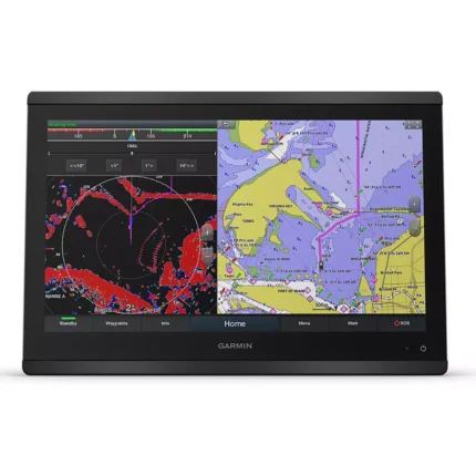
Garmin GPSMAP 8416 Chartplotter
$3,082.00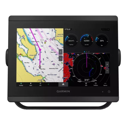
Garmin GPSMAP 8610 Chartplotter
$1,513.00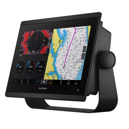
Garmin GPSMAP 8612 Chartplotter
$2,054.00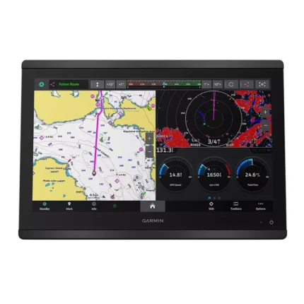
Garmin GPSMAP 8616 Chartplotter
$3,136.00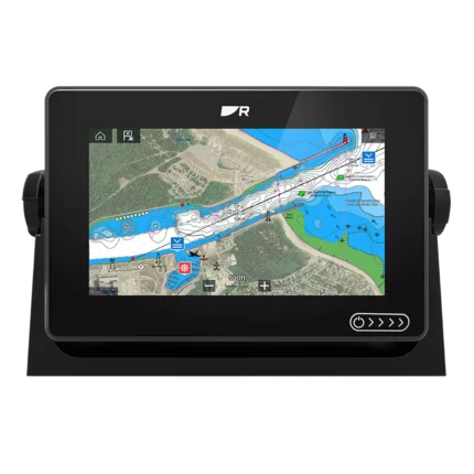
Reviews
There are no reviews yet.