
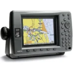
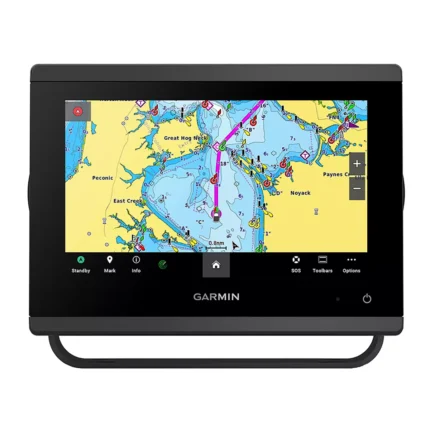
Garmin GPSMAP 3210 Network Chartplotter
$576.00
Garmin GPSMAP 3210 Network Chartplotter is a large-format Garmin chartplotter with preloaded U.S. coastal BlueChart g2 mapping. It is designed for plug-and-play helm use while still supporting Garmin Marine Network expansion, video input, and optional weather, radar, and sonar integration.
Overview Garmin GPSMAP 3210 Network Chartplotter
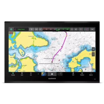
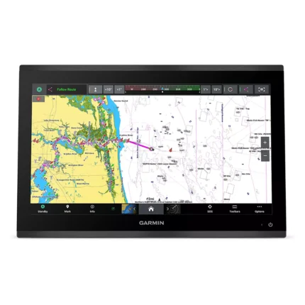
Garmin GPSMAP 3210 Network Chartplotter is built for boaters who want a big-screen chartplotter with preloaded U.S. coastal coverage and straightforward helm operation. The 10.4-inch display is paired with BlueChart g2 mapping for the U.S. coast, Alaska and Hawaii, with smoother chart layering and both 2D and 3D viewing options.
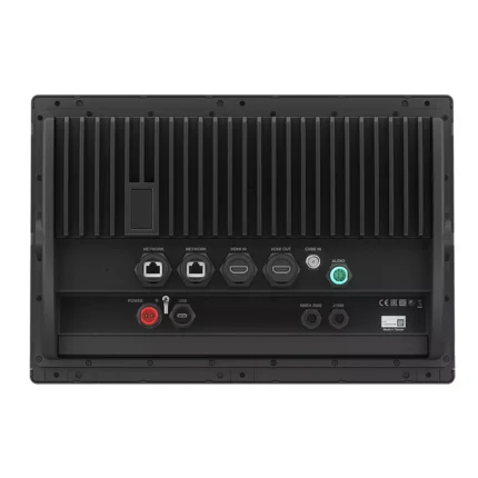
The unit can operate on its own or as part of a Garmin Marine Network with additional displays and sensors. Two video inputs, optional XM weather, radar and sonar support, and a WAAS-enabled GPS 17 sensor make it a practical choice for larger helms that want charting as the main priority but still need room to expand.
Key Features
- Large 10.4-inch display: The big-screen format supports easier chart reading from normal helm viewing distance.
- Preloaded coastal charting: BlueChart g2 coverage for U.S. coastal waters, Alaska and Hawaii gives the unit strong ready-to-use navigation data.
- 2D and 3D chart views: Mariner's Eye and direct-overhead views help match chart presentation to operator preference.
- Network expandability: The unit can integrate with other Garmin displays and optional weather, radar and sonar devices.
- Video monitoring support: Two video inputs allow additional onboard areas to be viewed from the helm display.
- Quick-access controls: Assignable soft keys help keep commonly used functions close at hand.
Applications
- Main chartplotter duty on larger coastal boats that need a bigger screen.
- Garmin helms planning to add weather, radar or sonar devices later.
- Installations that want both navigation display and occasional video monitoring.
Specifications
| Display | 10.4-inch diagonal display |
| Chart data | Preloaded U.S. coastal marine maps including Alaska and Hawaii with BlueChart g2 technology |
| View options | 3D Mariner's Eye and 2D direct-overhead chart views |
| Networking | Garmin Marine Network compatible |
| Video | Accepts up to 2 video inputs |
| GPS | WAAS-enabled GPS 17 sensor |
| Control features | Assignable soft keys |
What’s Included
- GPSMAP 3210
- Preloaded U.S. marine detailed maps (g2 technology)
- GPS 17 WAAS-enabled sensor
- Power/data cable
- Bail mount
- Protective cover
- Template for flush mounting
- Owner’s manual
- Quick reference guide
- Installation guide
Related products
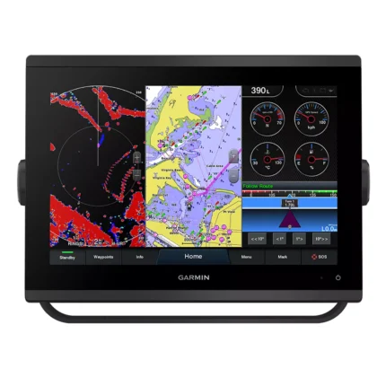
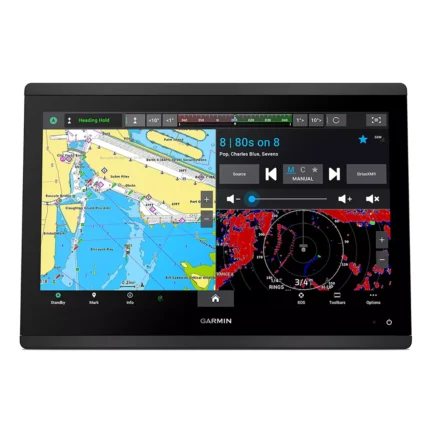
Garmin GPSMAP 9222 Chartplotter
Reviews
There are no reviews yet.