
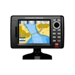
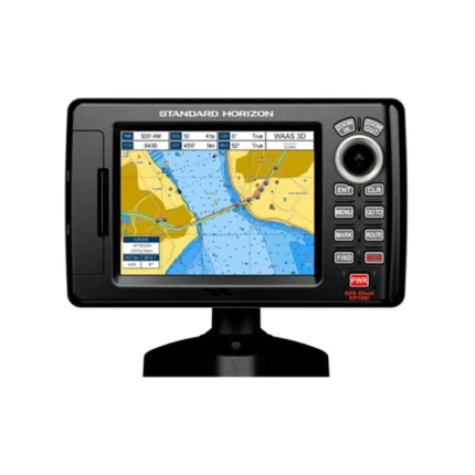
Standard Horizon CPN1010i Chartplotter
$1,080.00
Standard Horizon CPN1010i Chartplotter is a chartplotter designed for dependable marine use. Key features include Display 10.4″ SVGA 800×600 bonded sunlight-viewable touchscreen, GPS Receiver Internal 50-channel WAAS + port for external antenna, and Charting Preloaded C-Map Coastal Charts + optional C-Map 4D.
Overview Standard Horizon CPN1010i Chartplotter
Standard Horizon CPN1010i Chartplotter is a chartplotter with 10.4″ SVGA 800×600 bonded sunlight-viewable touchscreen display, charting Preloaded C-Map Coastal Charts + optional C-Map 4D, and networking Ethernet, Wi-Fi, Bluetooth.
Standard Horizon CPN1010i Chartplotter combines display 10.4″ SVGA 800×600 bonded sunlight-viewable touchscreen, gps receiver Internal 50-channel WAAS + port for external antenna, charting Preloaded C-Map Coastal Charts + optional C-Map 4D, and media compatibility USB (video, music, photo). The format is well suited to helms that prioritize straightforward charting, waypoint management, and integration with compatible marine electronics.
Key Features
- 10.4″ SVGA (800×600) bonded touchscreen display — optimized for sunlight readability and harsh marine environments: Supports clear viewing and practical helm control in bright marine conditions.
- Internal 50-channel WAAS GPS receiver with optional external antenna connection: Supports position tracking, route accuracy, and dependable navigation updates.
- Preloaded C-Map cartography: USA, Canada, Mexico, Caribbean, Bahamas, Puerto Rico, Central America & Great Lakes
- Optional C-Map 4D for advanced 3D charting, satellite imagery, raster/vector charts & POI database: Helps with route planning, coastal navigation, and day-to-day waypoint management.
- Built-in Wi-Fi & Bluetooth for internet browsing, email, and media streaming (audio/video): Supports the core operation and integration expected from this model.
- USB media player — supports movies, music & image playback directly from USB storage: Supports the core operation and integration expected from this model.
Applications
Standard Horizon CPN1010i Chartplotter fits boats that need dedicated charting, route management, and dependable GPS guidance without unnecessary complexity. It is useful for coastal navigation, waypoint tracking, and installations where sunlight readability and straightforward controls are important.
With features such as 10.4″ SVGA (800×600) bonded touchscreen display — optimized for sunlight readability and harsh marine environments, Internal 50-channel WAAS GPS receiver with optional external antenna connection, Preloaded C-Map cartography, and Optional C-Map 4D for advanced 3D charting, satellite imagery, raster/vector charts & POI database, this model supports everyday route planning, mark management, and integration with compatible marine electronics. It works well for users upgrading an older chartplotter or refreshing a compact helm layout.
Specifications
| Display | 10.4″ SVGA 800×600 bonded sunlight-viewable touchscreen |
| GPS Receiver | Internal 50-channel WAAS + port for external antenna |
| Charting | Preloaded C-Map Coastal Charts + optional C-Map 4D |
| Media Compatibility | USB (video, music, photo) |
| Networking | Ethernet, Wi-Fi, Bluetooth |
| AIS Support | Yes (external receiver required) |
| Radar Support | Si-TEX MDS radar series |
| Fishfinder | FF525 sonar module (optional) |
| Video Input | 2 × NTSC/PAL |
| Video Output | 1 × VGA |
What’s Included
- Two NTSC/PAL video inputs & VGA output for external monitor display
- Durable marine-grade build with 2-year waterproof warranty
Frequently Asked Questions About Standard Horizon CPN1010i Chartplotter
What is the Standard Horizon CPN1010i Chartplotter designed for?
Standard Horizon CPN1010i Chartplotter is built to serve as a dedicated chartplotter for everyday helm navigation. With its display with VGA, preloaded C-MAP coverage for lakes, rivers, and coastal routes, and stated performance features, it is positioned for chart handling, route work, and practical use within a connected marine setup.
How does this display support quick chart interaction?
The display with VGA gives this chartplotter a clear working area for charts and menu control at the helm. Its touchscreen layout keeps route changes more direct, while the processing platform is described to keep chart browsing and menu response responsive at the helm.
How does this chartplotter integrate with other onboard electronics?
This chartplotter is intended to work within a broader electronics layout by supporting camera input support, radar connectivity where stated, and WAAS-enabled GPS positioning. This gives the display a stronger role as a central charting screen when other sensors or onboard data also need to be viewed at the helm.
What kind of boating setup is this chartplotter best suited to?
This chartplotter makes the most sense for cruising boats and connected helms that want a chartplotter focused on route work, visibility, and helm integration. Its preloaded C-MAP coverage for lakes, rivers, and coastal routes also helps reduce setup time for boats that want charting ready from the start.
Related products
Garmin GPSMAP 1243 Chartplotter
$1,754.00
Garmin GPSMAP 1643 Chartplotter
$3,054.00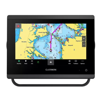
Garmin GPSMAP 743 Chartplotter
$640.00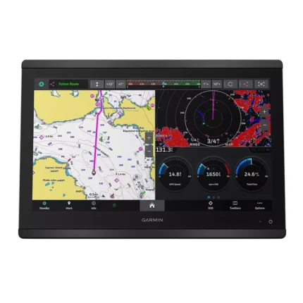
Garmin GPSMAP 8616 Chartplotter
$3,136.00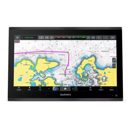
Garmin GPSMAP 9019 Chartplotter
$7,143.00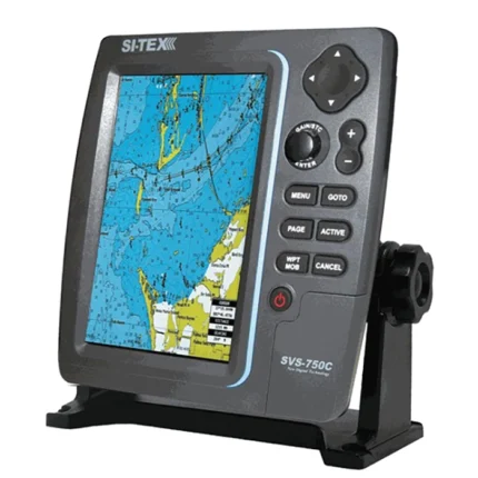
SI-TEX SVS-750C Chartplotter
$351.00
Reviews
There are no reviews yet.