

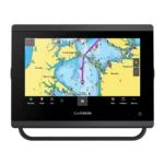
Garmin GPSMAP 743 Chartplotter
$640.00
Garmin GPSMAP 743 Chartplotter is a 7-inch chartplotter built for fast navigation and clean helm integration, combining 7-inch display with 1024 x 600 pixels (WSVGA), faster chart redraw and menu response, preloaded Garmin Navionics+™.
Overview Garmin GPSMAP 743 Chartplotter
Garmin GPSMAP 743 Chartplotter is a chartplotter built for mariners who need fast chart handling, clear screen visibility, and reliable system integration at the helm. It combines 7-inch, 1024 x 600 pixels (WSVGA), Power Nearly 2x Previous Generations, together with Preloaded Garmin Navionics+™.
The Garmin GPSMAP 743 is the advanced choice for boaters outfitting small to mid-sized vessels or center consoles where dashboard space is limited but professional features are non-negotiable. Because the processing power is twice as fast, you can zoom and pan through your route with zero stutter, providing better confidence during high-traffic maneuvers.
Key Features
- Display and visibility: 7-inch, 1024 x 600 pixels (WSVGA). This supports clear chart viewing and better readability at the helm.
- Processing platform: Power Nearly 2x Previous Generations. It helps keep menu response, chart redraws, and split-screen operation smooth.
- Networking and integration: NMEA 2000, NMEA 0183, Garmin Marine Network. Compatible networking helps the unit share charts, radar, sensors, cameras, and other onboard data where supported.
- Chart ecosystem: Preloaded Garmin Navionics+™. This supports route planning and chart management using the chart platform available for the model.
- Position data: 10 Hz GPS, GLONASS, and Galileo. This supports accurate vessel positioning and update speed for navigation tasks.
- Wireless connectivity: Wi-Fi, ANT, and Bluetooth. Wireless links help with device pairing, data sharing, and chart or software workflows where supported.
Applications
The Garmin GPSMAP 743 is the advanced choice for boaters outfitting small to mid-sized vessels or center consoles where dashboard space is limited but professional features are non-negotiable. Because the processing power is twice as fast, you can zoom and pan through your route with zero stutter, providing better confidence during high-traffic maneuvers.
Its slimline design and reduced footprint also make it an ideal candidate for retrofitting into older dash configurations that previously could only accommodate smaller, lower-resolution units.
Specifications
| Display Size | 7.0 inches Diagonal |
| Display Resolution | 1024 x 600 pixels (WSVGA) |
| Processor | Power Nearly 2x Previous Generations |
| Touchscreen | (Polarized Lens Compatible) |
| GNSS Receiver | 10 Hz GPS, GLONASS, and Galileo |
| Mapping | Preloaded Garmin Navionics+™ |
| Networking | NMEA 2000, NMEA 0183, Garmin Marine Network |
| Wireless | Wi-Fi, ANT, and Bluetooth |
| Waterproof Rating | IPX7 Standards Input Tegangan 10 to 35 Vdc |
What’s Included
- 1x Garmin GPSMAP 743 Chartplotter
- 1x microSD™ Card (Preinstalled)
- 1x Power Cable
- 1x NMEA 2000 T-connector and NMEA 2000 Drop Cable
- 1x Bail Mount Kit with Knobs and Flush Mount Kit with Gasket
- 1x Protective Suncover and Trim Piece Snap Covers
- 1x Comprehensive Documentation Pack
Frequently Asked Questions About Garmin GPSMAP 743 Chartplotter
What does the Garmin GPSMAP 743 Chartplotter offer for everyday navigation?
Garmin GPSMAP 743 Chartplotter is designed as a helm navigation display for mariners who need clear chart viewing and reliable onboard integration. Its 7-inch display with 1024 x 600 pixels (WSVGA) and preloaded Garmin Navionics+ mapping support route planning and day-to-day navigation, while the stated processing platform helps keep helm use responsive.
How does this display support quick chart interaction?
This chartplotter uses a 7-inch display with 1024 x 600 pixels (WSVGA) and touchscreen interface to make chart browsing, menu access, and route adjustments more direct at the helm. Fast chart redraw and menu response help keep route work fluid during normal helm use.
What networking support does this unit provide?
This chartplotter is intended to work within a broader electronics layout by supporting Garmin Marine Network, NMEA 2000, and NMEA 0183, camera input support, and radar connectivity where stated. This gives the display a stronger role as a central charting screen when other sensors or onboard data also need to be viewed at the helm.
What kind of boating setup is this chartplotter best suited to?
This chartplotter makes the most sense for cruising boats and connected helms that want a chartplotter focused on route work, visibility, and helm integration. Its preloaded Garmin Navionics+ mapping also helps reduce setup time for boats that want charting ready from the start.
Related products
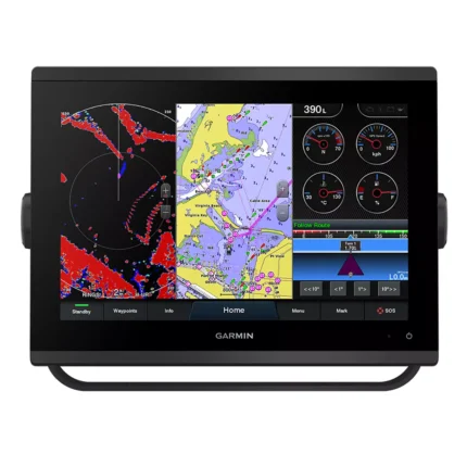
Garmin GPSMAP 1223 Chartplotter
$1,884.00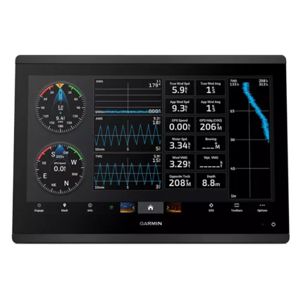
Garmin GPSMAP 1623 Chartplotter
$3,184.00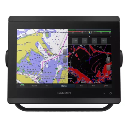
Garmin GPSMAP 8412 Chartplotter
$2,000.00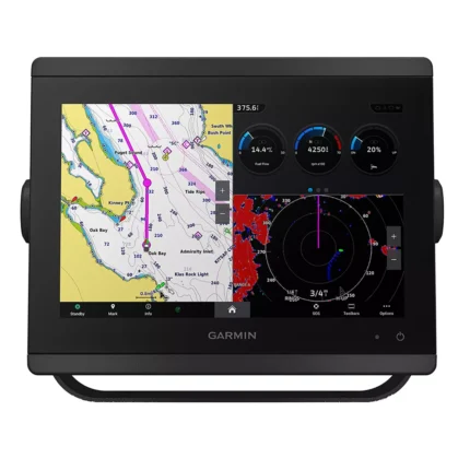
Garmin GPSMAP 8610 Chartplotter
$1,513.00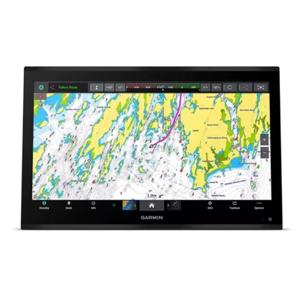
Garmin GPSMAP 9024 Chartplotter
$8,839.00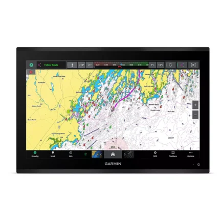
Garmin GPSMAP 9222 Chartplotter
$7,600.00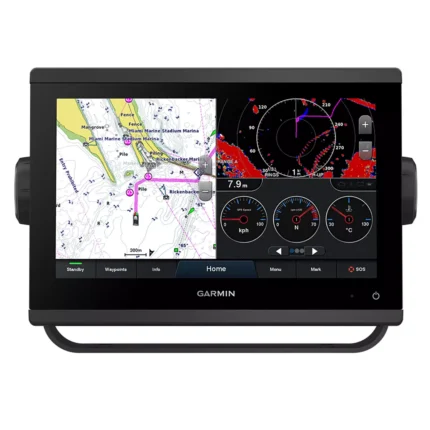
Garmin GPSMAP 923 Chartplotter
$974.00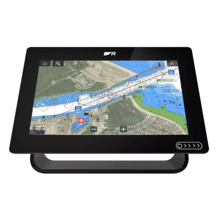
Reviews
There are no reviews yet.