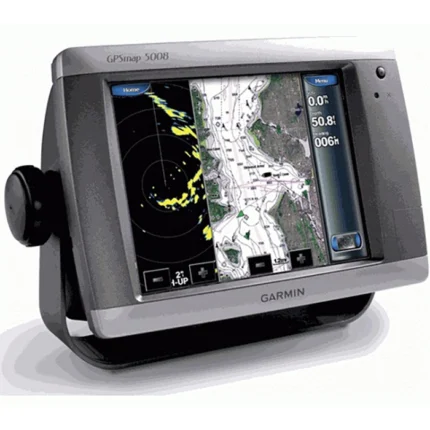
Garmin GPSMAP 5008 Touchscreen Chartplotter

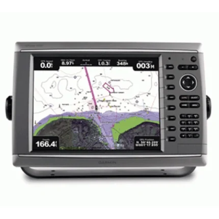
Garmin GPSMAP 5012 Touchscreen Chartplotter
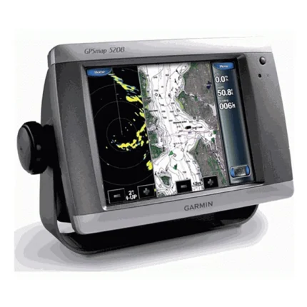
Garmin GPSMAP 5208 Touchscreen Chartplotter
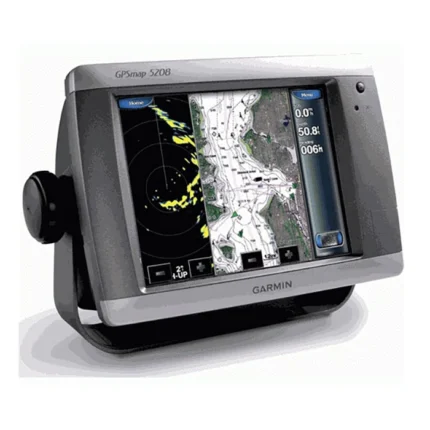
Garmin GPSMAP 5208 Touchscreen Chartplotter
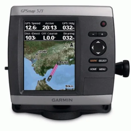
Garmin GPSMAP 521 Chartplotter
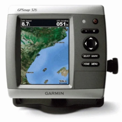
Garmin GPSMAP 526 Chartplotter
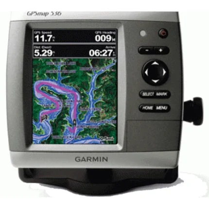
Garmin GPSMAP 536 Inland Chartplotter
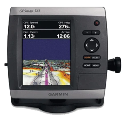
Garmin GPSMAP 541 GPS Chartplotter
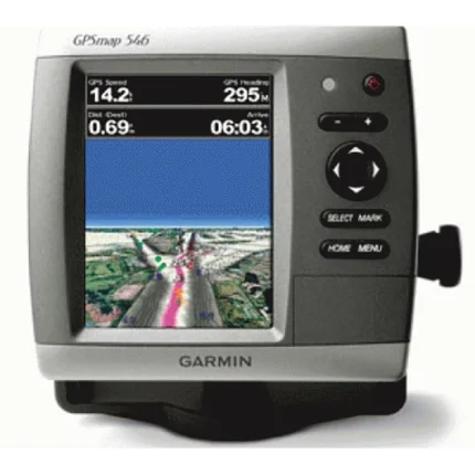
Garmin GPSMAP 546 GPS Chartplotter
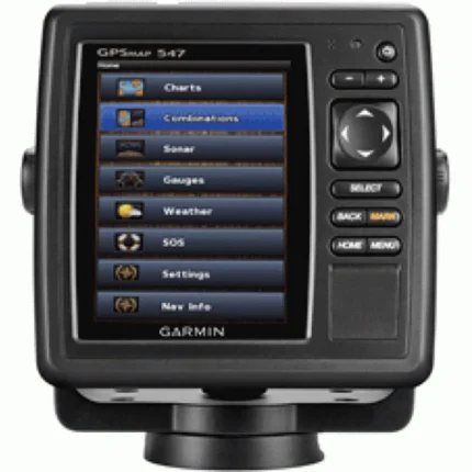
Garmin GPSMAP 547 Chartplotter
Garmin GPSMAP 6008 Network Chartplotter