
Garmin GPSMAP 521 Chartplotter
$216.00
Garmin GPSMAP 521 Chartplotter is a compact 5-inch Garmin chartplotter with worldwide basemap coverage and a built-in GPS receiver. It is designed for straightforward helm navigation with NMEA 2000 support, fast chart redraws, and optional XM weather or BlueChart g2 Vision expansion.
Overview Garmin GPSMAP 521 Chartplotter
Garmin GPSMAP 521 Chartplotter is aimed at boaters who need a compact, dedicated navigation display with a simple operating layout. The 5-inch QVGA screen and improved high-speed digital design help keep chart viewing clear and responsive during normal route work.
The unit includes a satellite-enhanced worldwide basemap, a high-sensitivity internal GPS receiver and NMEA 2000 certification for broader system compatibility. It also supports optional GXM 51 services and BlueChart g2 Vision chart expansion for users who need more weather data or more detailed mapping.
Key Features
- Compact 5-inch chartplotter: The QVGA display suits smaller helm spaces while still providing dedicated chart access.
- Bright display output: Over-800-nit brightness helps keep the screen readable in direct daylight.
- Built-in GPS receiver: The internal high-sensitivity GPS keeps installation simpler while maintaining position accuracy.
- Responsive chart handling: A faster digital design improves chart redraw speed and panning smoothness.
- SD chart expansion: The memory card slot supports BlueChart g2 Vision cards as well as route and track storage.
- NMEA 2000 and weather support: The unit can integrate with compatible marine electronics and optional GXM 51 weather services.
Applications
- Compact helm stations needing an easy-to-use Garmin chartplotter.
- Boats that want optional XM weather and enhanced charting without a large display.
- Operators who prefer a dedicated navigation screen with built-in GPS.
Specifications
| Display | 5-inch QVGA display, 240 x 320 pixels, over 800 nits brightness |
| Basemap | Satellite-enhanced worldwide basemap |
| GPS | Built-in high-sensitivity GPS receiver |
| Networking | NMEA 2000 certified |
| Weather compatibility | Compatible with GXM 51 for XM Satellite Radio and XM WX Satellite Weather |
| Storage | Single SD memory card slot |
| Dimensions | 5.9 x 6.4 x 2.9 in |
What’s Included
Package contents are not specified in the source data.
Frequently Asked Questions About Garmin GPSMAP 521 Chartplotter
What does the Garmin GPSMAP 521 Chartplotter offer for everyday navigation?
Garmin GPSMAP 521 Chartplotter is built to serve as a dedicated chartplotter for everyday helm navigation. With its 5-inch display with 240 x 320 pixels, preloaded BlueChart g2 cartography, and stated performance features, it is positioned for chart handling, route work, and practical use within a connected marine setup.
How does the display support chart viewing at the helm?
This chartplotter centers navigation around a 5-inch display with 240 x 320 pixels that gives chart data enough working space without overcomplicating operation. The processing platform is described to keep chart browsing and menu response responsive at the helm.
Can this display work as part of a wider helm system?
This chartplotter supports NMEA 2000, which helps it exchange navigation data and serve as part of a broader helm installation. That is useful when charting needs to sit alongside vessel data, shared maps, or connected marine sensors on the same system.
Who is this display most relevant for?
This chartplotter is most relevant for helm stations who need a dependable navigation screen at the helm. Its preloaded BlueChart g2 cartography also helps reduce setup time for boats that want charting ready from the start.
Related products
Garmin GPSMAP 1643 Chartplotter
$3,054.00
Garmin GPSMAP 8412 Chartplotter
$2,000.00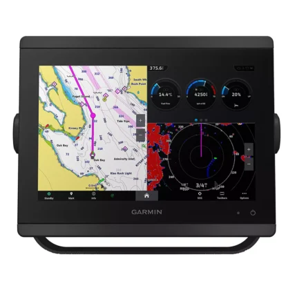
Garmin GPSMAP 8610 Chartplotter
$1,513.00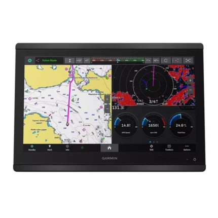
Garmin GPSMAP 8616 Chartplotter
$3,136.00
Garmin GPSMAP 9022 Chartplotter
$7,539.00
Garmin GPSMAP 9024 Chartplotter
$8,839.00
Raymarine Axiom+ 7 Chartplotter
$475.00
Reviews
There are no reviews yet.