
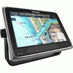
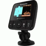
Raymarine Dragonfly 5M Gold GPS Chartplotter
$225.00
Raymarine Dragonfly 5M Gold GPS Chartplotter combines fast GPS chart navigation with a simple user interface and Navionics Gold mapping. The source data also highlights wide-spectrum CHIRP DownVision capability for users who want clearer underwater views from the Dragonfly platform.
Overview Raymarine Dragonfly 5M Gold GPS Chartplotter
Raymarine Dragonfly 5M Gold GPS Chartplotter is built around quick chart handling, a straightforward interface, and a fast 50-channel GPS for everyday navigation on the water. The source description notes that the processor is designed for faster panning, zooming, and chart exploration, while the high-definition color LCD and optical bonding help maintain clear visibility in changing weather conditions.
The Dragonfly 5M Gold source data also highlights wide-spectrum CHIRP DownVision technology as part of the broader Dragonfly platform, emphasizing photo-like sonar imagery and clearer views of underwater objects. Combined with the included Navionics Gold maps, this makes the unit relevant to users who want simple chart navigation and the Dragonfly series approach to underwater viewing.
Key Features
- Fast 50-channel GPS supports responsive position updates and chart navigation.
- Simple Dragonfly user interface keeps panning, zooming, and route exploration easy to manage.
- High-definition color LCD with optical bonding improves visibility and helps reduce internal fogging.
- Fast processor is intended to make map movement and chart loading more responsive.
- Navionics Gold maps included provide supplied chart coverage for lakes, rivers, and coastal areas referenced in the source data.
- Dragonfly CHIRP DownVision platform detail is highlighted in the source description for users seeking more image-like underwater views.
Applications
- Suitable for boaters who prioritize straightforward GPS chartplotting and responsive map handling in a compact display format.
- Useful on inland waters, rivers, and coastal routes where the included Gold mapping coverage adds immediate value.
- A practical option for users already interested in the Dragonfly family and its emphasis on simple operation and detailed underwater viewing.
Specifications
| Platform | Dragonfly 5M Gold GPS/Chartplotter |
| GPS | Fast 50-channel GPS |
| Display | All-weather high-definition color LCD with optical bonding |
| Maps | Navionics Gold maps for North American lakes, rivers, and coastal areas referenced in the source short description |
| Processing | Fast processor for panning, zooming, and chart exploration |
| Sonar note | Source description references wide-spectrum CHIRP DownVision technology within the Dragonfly platform |
What’s Included
- Navionics Gold maps
- Dragonfly 5M Gold chartplotter configuration as described in the source data
- Additional in-box accessories were not specified in the source product data
Frequently Asked Questions About Raymarine Dragonfly 5M Gold GPS Chartplotter
Who is the Raymarine Dragonfly 5M Gold GPS Chartplotter intended for on board?
Raymarine Dragonfly 5M Gold GPS Chartplotter is built to serve as a dedicated chartplotter for everyday helm navigation. With its helm display, preloaded inland mapping for more than 14,000 U.S. lakes and rivers, and stated performance features, it is positioned for chart handling, route work, and practical use within a connected marine setup.
What is this unit like in everyday navigation use?
This chartplotter centers navigation around a helm display that gives chart data enough working space without overcomplicating operation. The processor is intended to keep chart browsing and panning responsive during routine navigation.
Can this display work as part of a wider helm system?
This chartplotter is intended to operate as more than a stand-alone chart screen by supporting onboard data sharing where stated in the specifications. This makes it easier to place the unit within a helm layout that combines navigation, vessel information, and other connected electronics.
What kind of boating setup is this chartplotter best suited to?
This chartplotter makes the most sense for cruising boats and general navigation helms that want a chartplotter focused on route work, visibility, and helm integration. Its preloaded inland mapping for more than 14,000 U.S. lakes and rivers also helps reduce setup time for boats that want charting ready from the start.
Related products
Garmin GPSMAP 1243 Chartplotter
$1,754.00
Garmin GPSMAP 8412 Chartplotter
$2,000.00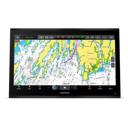
Garmin GPSMAP 9024 Chartplotter
$8,839.00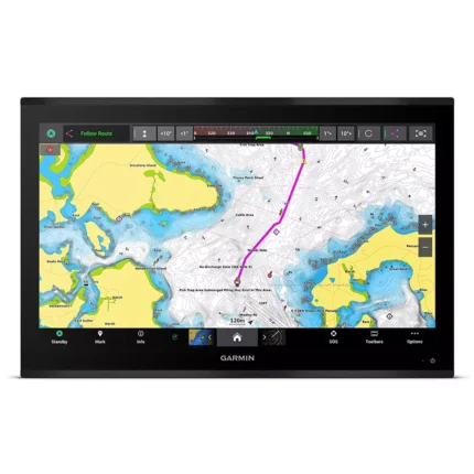
Garmin GPSMAP 9027 Chartplotter
$10,199.00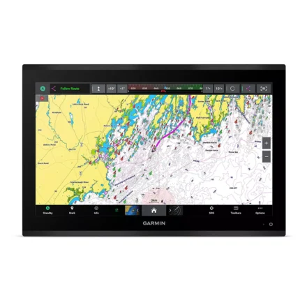
Garmin GPSMAP 9222 Chartplotter
$7,600.00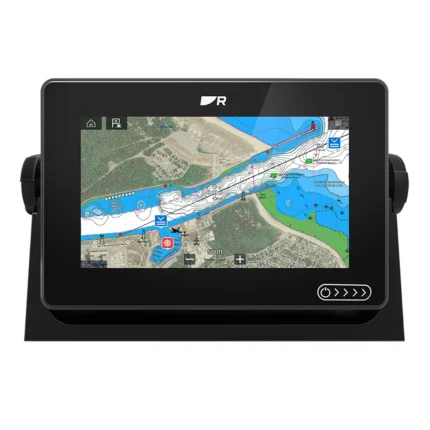
Raymarine Axiom+ 7 Chartplotter
$475.00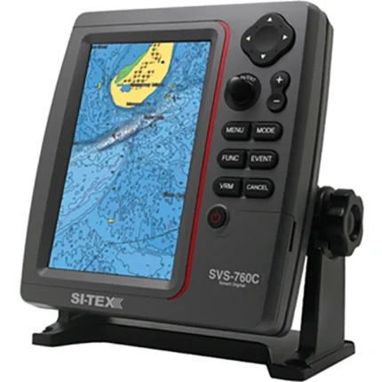
SI-TEX SVS-760C Chartplotter
$396.00
Reviews
There are no reviews yet.