
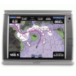
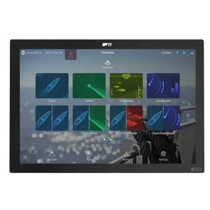
Garmin GPSMAP 7012 Multifunction Display
$1,242.00
Garmin GPSMAP 7012 Multifunction Display is a 12.1-inch network-ready marine display built for charting, monitoring, and multi-window helm use. It supports GPS 17x NMEA 2000 (External) and NMEA 2000, NMEA 0183, Garmin Marine Network for smooth integration with radar, sonar, and onboard instruments.
Overview Garmin GPSMAP 7012 Multifunction Display
Garmin GPSMAP 7012 Multifunction Display is a 12.1-inch network-ready marine display built for charting, monitoring, and multi-window helm use. It supports GPS 17x NMEA 2000 (External) and NMEA 2000, NMEA 0183, Garmin Marine Network for smooth integration with radar, sonar, and onboard instruments. Key onboard capabilities include 1024 x 768 pixels (XGA), GPS 17x NMEA 2000 (External), NMEA 2000, NMEA 0183, Garmin Marine Network.
In practical offshore use, a captain can utilize the 12-inch display as a primary command center. By splitting the screen, the operator can view high-definition radar returns on one side while monitoring 3D bathymetric data on the other.
Key Features
- High-Speed Marine Processor: At the heart of the system is an processor that eliminates the lag common in older navigation units. This ensures that even when viewing complex 3D data or high-resolution satellite overlays, the screen refresh remains instantaneous for near real-time tracking.
- Brilliant Sunlight-Readable Touchscreen: The 12.1-inch display features a massive range of brightness settings. It remains perfectly legible under the harsh mid-day sun of the open ocean while offering a dimming feature that preserves night vision during low-light coastal passages.
- BlueChart g2 Vision Support: By adding an optional SD card, users can unlock premium features like Auto Guidance technology, which suggests the best course to a destination based on the boat’s dimensions. This also enables 3D “Mariner’s Eye” and “Fish Eye” views for a more comprehensive perspective above and below the waterline.
- Seamless NMEA 2000 and Garmin Network Integration: The unit is designed for total system coordination. It allows you to interface with additional Multi-Function Displays (MFDs), high-powered boat radar, and marine sonar modules.
- Live Video Monitoring: With dedicated video input and output options, you can connect a live feed to keep a constant watch on the engine room or aft deck. This integration transforms the chartplotter into a comprehensive vessel monitoring station.
- Worldwide Satellite Basemap: The preloaded imagery provides a realistic view of the world’s coastlines and port plans. For mariners navigating unfamiliar waters, this visual aid provides a level of detail that traditional vector charts cannot match.
Applications
In practical offshore use, a captain can utilize the 12-inch display as a primary command center. By splitting the screen, the operator can view high-definition radar returns on one side while monitoring 3D bathymetric data on the other.
When navigating into an unfamiliar marina at night, the high-resolution aerial photography provided by BlueChart g2 Vision allows the crew to identify landmarks and port entrances with photographic clarity, significantly reducing the stress of tight maneuvers. For fishing fanatics, the 3D “Fish Eye” view provides a tactical advantage by rendering the underwater terrain in a three-dimensional format.
Specifications
| Display Size | 12.1 inches Diagonal |
| Resolution | 1024 x 768 pixels (XGA) |
| Display Type | Multi-Touch Touchscreen |
| GPS Receiver | GPS 17x NMEA 2000 (External) |
| Networking | NMEA 2000, NMEA 0183, Garmin Marine Network |
| Video Ports | 1x Input, 1x Output |
| Expansion | 1x SD Card Slot (Map Data) |
| Waterproof Rating | IPX7 Standards |
| Operating Voltage | 10V – 35V DC |
| Product Warranty | 1-Year Limited Manufacturer Warranty |
What’s Included
- 1x Garmin GPSMAP 7012 Unit
- 1x GPS 17x NMEA 2000 External Antenna (with multiple mounts)
- 1x Power and Video Cable Kit
- 1x NMEA 2000 Backbone and Drop Cable Set
- 1x Bail Mount and Hardware for Flush Mounting
- 1x Protective Front Sun Cover
- 1x Marine Grommet Kit and Documentation Pack
Frequently Asked Questions About Garmin GPSMAP 7012 Multifunction Display
Who is Garmin GPSMAP 7012 Multifunction Display aimed at on the water?
Garmin GPSMAP 7012 Multifunction Display is designed for skippers who want chart navigation and sailing data in one helm display. It keeps charting and sailing information in one place, making it useful for coastal cruising and offshore or blue-water passages.
What kind of interface does this chartplotter offer on board?
This chartplotter uses a 12.1-inch screen and a high-visibility display to keep charts and data readable in bright cockpit conditions. It also offers touchscreen control, so the operator can choose the control method that best fits the conditions.
How does this chartplotter fit into a connected marine electronics system?
This chartplotter supports NMEA 2000 and NMEA 0183, plus onboard charting. That helps the unit exchange navigation, instrument, and sensor data across the boat. It is intended to work as part of a broader onboard electronics setup rather than in isolation.
Is this chartplotter better suited to cruising, racing, or mixed use?
This chartplotter is aimed at owners who want a capable helm display matched to real onboard navigation and monitoring needs. It suits installations where visibility, integration, and quick access to data matter more than unnecessary complexity.
Related products
Furuno TZT13X Multifunction Display
$2,596.00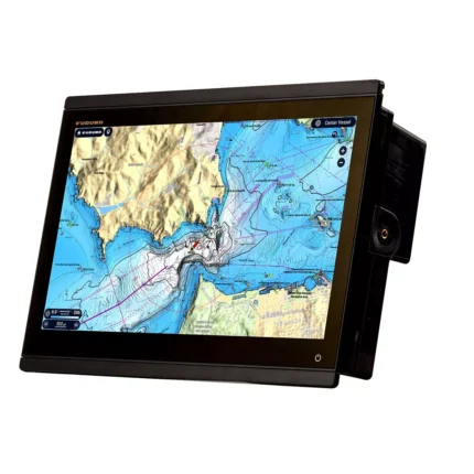
Furuno TZT16X Multifunction Display
$4,026.00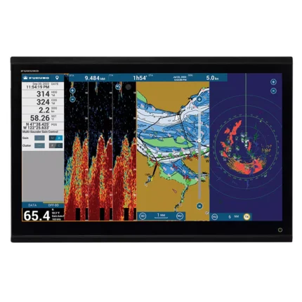
Furuno TZT24X Multifunction Display
$7,796.00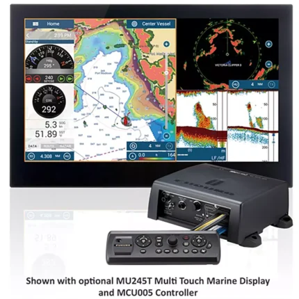
Reviews
There are no reviews yet.