
Garmin GPSMAP 478 Portable GPS Chartplotter
$333.00
Garmin GPSMAP 478 Portable GPS Chartplotter is a portable navigation unit with preloaded U.S. marine charts and North America road maps for boat and vehicle use.
Overview Garmin GPSMAP 478 Portable GPS Chartplotter
Garmin GPSMAP 478 Portable GPS Chartplotter is built for users who need one navigation device for both marine and road travel. It comes preloaded with U.S. marine charts using BlueChart g2 technology and City Navigator NT street maps for North America, so it is ready for use without additional downloads.
The unit is designed to move from boat to vehicle with less setup time. Optional weather and sonar accessories expand its role further for mariners who want weather awareness or depth capability from a portable GPS chartplotter platform.
Key Features
- Portable dual-use design: The unit is intended for both marine and automotive navigation rather than being fixed to one installation.
- Preloaded marine and road mapping: BlueChart g2 marine charts and City Navigator NT road maps support both water and land use.
- Automatic routing with voice guidance: Road navigation is easier when using the preloaded street-level map data and POI database.
- Optional weather integration: A compatible GXM 30 antenna can display weather data and XM Satellite Radio on the screen.
- Optional sonar support: The GPSMAP 478 can be paired with the GSD 21 remote sounder for sonar capability.
Applications
A good fit for trailer boats, mobile skippers, and users who regularly move between marine and automotive navigation. The portable format is practical for small craft, backup navigation, and mixed-use travel.
It is also useful for owners who want one unit that can cover coastal runs, inland trips, and road travel with minimal equipment changes.
Specifications
| Product type | Portable GPS chartplotter |
| Mapping | Preloaded U.S. marine charts with BlueChart g2 and City Navigator NT street maps for North America |
| Weather option | Compatible with GXM 30 for XM WX Satellite Weather and XM Satellite Radio |
| Sonar option | Compatible with Garmin GSD 21 remote sounder |
| Display | Sunlight-readable TFT display |
| Use modes | Marine and automotive navigation |
What’s Included
- GPSMAP 478 unit
- Preloaded U.S. marine charts
- Preloaded North America road maps
- Marine mount
- Automotive kit
Frequently Asked Questions About Garmin GPSMAP 478 Portable GPS Chartplotter
What is the Garmin GPSMAP 478 Portable GPS Chartplotter designed for?
Garmin GPSMAP 478 Portable GPS Chartplotter is designed for users who need navigation that can move between a boat and another travel setup without a fixed installation. With preloaded BlueChart g2 marine charts and City Navigator NT road maps, it supports marine route work and, where stated, practical use beyond the helm.
How practical is this portable unit in daily use?
This portable unit is built for users who want one navigator that can move between different setups with less hassle than a fixed helm display. The portable format, readable screen, and stated mapping coverage make it useful for regular trips, backup use, and travel between platforms.
Can this portable chartplotter cover more than one use case?
This portable unit stands out by combining preloaded BlueChart g2 marine charts and City Navigator NT road maps in one device, which reduces setup time for users switching roles. Where stated, optional weather or sonar accessories can extend it further without changing the basic portable navigation format.
When does this chartplotter make the most sense?
This portable unit is especially suitable for backup navigation, trailer boats, and mobile skippers who value flexibility more than a permanent flush-mounted installation. It fits well as a main navigator on smaller craft, a backup unit on larger boats, or a travel-friendly device that can move between different roles.
Related products
Garmin GPSMAP 8410 Chartplotter
$1,513.00
Garmin GPSMAP 8416 Chartplotter
$3,082.00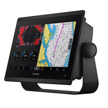
Garmin GPSMAP 8612 Chartplotter
$2,054.00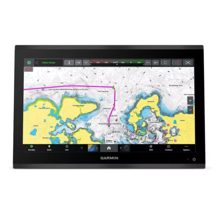
Garmin GPSMAP 9019 Chartplotter
$7,143.00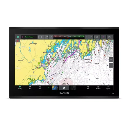
Garmin GPSMAP 9222 Chartplotter
$7,600.00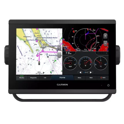
Garmin GPSMAP 923 Chartplotter
$974.00
Reviews
There are no reviews yet.