
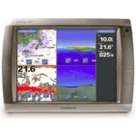
Garmin GPSMAP 6208 Network Chartplotter
$1,035.00
Garmin GPSMAP 6208 Network Chartplotter is a big-screen chartplotter with preloaded U.S. coastal charts, video connectivity, and Garmin Marine Network integration for radar, sonar, and weather expansion.
Overview Garmin GPSMAP 6208 Network Chartplotter
Garmin GPSMAP 6208 Network Chartplotter is designed for boaters who want a larger charting display with network expansion and preloaded coastal mapping. It comes with BlueChart g2 marine cartography for the U.S. coast, including Alaska, Hawaii, and the Bahamas, so it is ready for coastal navigation right away.
This model is intended to serve as a central network chartplotter. It supports video input and output, optional BlueChart g2 Vision mapping cards, and integration with compatible radar, sonar, and XM weather hardware through the Garmin Marine Network.
Key Features
- Preloaded coastal BlueChart g2 mapping: U.S. coastal coverage supports immediate chart use without loading base charts first.
- Big-screen network chartplotter: The larger display format suits helm layouts where chart visibility matters.
- Video input and output: Useful for connecting live video feeds such as engine room or onboard camera views.
- Garmin Marine Network compatibility: Allows expansion with radar, sonar, and weather sources.
- BlueChart g2 Vision support: Optional cards add aerial photography, satellite imagery, 3D views, and Auto Guidance.
Applications
A practical choice for coastal cruising boats and sportfishing vessels that need a dedicated chartplotter with expansion for weather, sonar, and radar. The video connection also makes it relevant in installations that monitor onboard cameras from the helm.
It is especially useful when preloaded U.S. coastal mapping and network growth are both important in the same system.
Specifications
| Product type | Network chartplotter |
| Mapping | Preloaded BlueChart g2 coastal U.S. coverage including Alaska, Hawaii, and the Bahamas |
| Video support | Video input and output |
| Network support | Garmin Marine Network for radar, sonar, and XM weather integration |
| Mapping expansion | Optional BlueChart g2 Vision SD cards |
| GPS hardware | GPS 17x NMEA 2000 receiver included |
What’s Included
- GPSMAP 6208 unit
- Top and bottom snap covers
- Bail mount and knobs
- GPS 17x NMEA 2000 receiver
- Protective front cover
- Power cable
- Video cable
- NMEA 0183 cable
- NMEA 2000 drop cable
- NMEA 2000 10 m backbone cable
- NMEA 2000 power cable
- NMEA 2000 T-connector and terminator kit
- Flush mount hardware
- Flush mount gasket
- Marine grommet kit
- Manual case with user documentation
Frequently Asked Questions About Garmin GPSMAP 6208 Network Chartplotter
What is the Garmin GPSMAP 6208 Network Chartplotter designed for?
Garmin GPSMAP 6208 Network Chartplotter is built to serve as a dedicated chartplotter for everyday helm navigation. With its helm display, preloaded BlueChart g2 coverage for the USA and Bahamas, and stated performance features, it is positioned for chart handling, route work, and practical use within a connected marine setup.
What is this unit like in everyday navigation use?
This chartplotter centers navigation around a helm display that gives chart data enough working space without overcomplicating operation. The processing platform is described to keep chart browsing and menu response responsive at the helm.
Can this display work as part of a wider helm system?
This chartplotter supports Garmin Marine Network, NMEA 2000, and NMEA 0183, camera input support, and radar connectivity where stated, which helps it exchange navigation data and serve as part of a broader helm installation. That is useful when charting needs to sit alongside vessel data, shared maps, or connected marine sensors on the same system.
Where does this unit make the most sense on board?
This chartplotter makes the most sense for sportfishing boats that want a chartplotter focused on route work, visibility, and helm integration. Its preloaded BlueChart g2 coverage for the USA and Bahamas also helps reduce setup time for boats that want charting ready from the start.
Related products
Garmin GPSMAP 1022 Chartplotter
$909.00
Garmin GPSMAP 8416 Chartplotter
$3,082.00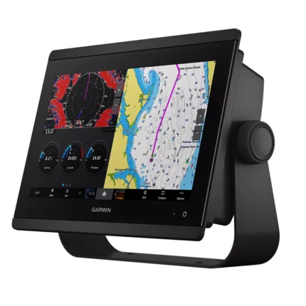
Garmin GPSMAP 8612 Chartplotter
$2,054.00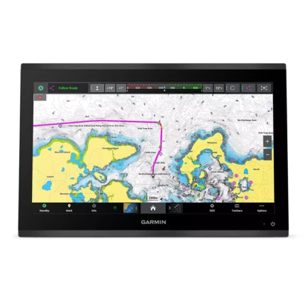
Garmin GPSMAP 9019 Chartplotter
$7,143.00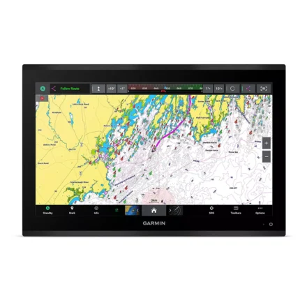
Garmin GPSMAP 9222 Chartplotter
$7,600.00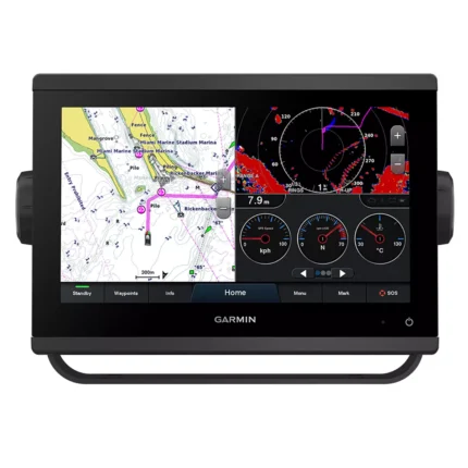
Garmin GPSMAP 923 Chartplotter
$974.00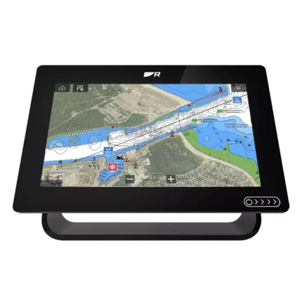
Reviews
There are no reviews yet.