
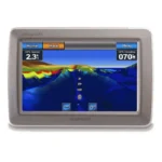
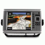
Garmin GPSMAP 6012 Network Chartplotter
$1,242.00
Garmin GPSMAP 6012 Network Chartplotter is a big-screen chartplotter with worldwide satellite basemap, video connectivity, and Garmin Marine Network support for sonar, radar, and weather integration.
Overview Garmin GPSMAP 6012 Network Chartplotter
Garmin GPSMAP 6012 Network Chartplotter is designed as a large-format charting hub for Garmin Marine Network installations. It combines a vivid big-screen display with a worldwide basemap that uses high-quality satellite imagery, giving operators a more modern visual reference than a basic vector-only map.
This model supports video input and output, optional BlueChart g2 Vision mapping, and integration with compatible radar, sonar, and XM weather modules. It is intended for boats that need a primary navigation display with room to grow into a broader Garmin system.
Key Features
- Worldwide satellite basemap: Provides a broad chart reference with satellite image support as the base mapping layer.
- Big-screen display: The larger screen format helps with chart review and network data visibility.
- Video input and output: Supports camera or live video use from the helm.
- Garmin Marine Network support: Allows connection to radar, sonar, and weather sources.
- BlueChart g2 Vision compatible: Optional cards add satellite overlay, aerial photos, 3D views, and Auto Guidance.
Applications
A strong fit for larger cruising and fishing vessels that want a main chartplotter display with room for weather, radar, sonar, and video integration. The worldwide basemap also helps when a broad geographic reference is needed before adding local chart detail.
It is useful where one display is expected to anchor a Garmin marine electronics network and coordinate multiple onboard inputs.
Specifications
| Product type | Network chartplotter |
| Mapping | Worldwide basemap with high-quality satellite images |
| Video support | Video input and output |
| Network support | Garmin Marine Network for radar, sonar, and XM weather integration |
| Mapping expansion | Optional BlueChart g2 Vision SD cards |
| GPS hardware | GPS 17x NMEA 2000 receiver included |
What’s Included
- GPSMAP 6012 unit
- Top and bottom snap covers
- Bail mount and knobs
- GPS 17x NMEA 2000 receiver
- Protective front cover
- Power cable
- Video cable
- NMEA 0183 cable
- NMEA 2000 drop cable
- NMEA 2000 10 m backbone cable
- NMEA 2000 power cable
- NMEA 2000 T-connector and terminator kit
- Flush mount hardware
- Flush mount gasket
- Marine grommet kit
- Manual case with user documentation
Frequently Asked Questions About Garmin GPSMAP 6012 Network Chartplotter
Who is the Garmin GPSMAP 6012 Network Chartplotter intended for on board?
Garmin GPSMAP 6012 Network Chartplotter is built to serve as a dedicated chartplotter for everyday helm navigation. With its helm display, preloaded BlueChart g2 cartography, and stated performance features, it is positioned for chart handling, route work, and practical use within a connected marine setup.
How does the display support chart viewing at the helm?
This chartplotter centers navigation around a helm display that gives chart data enough working space without overcomplicating operation. The processing platform is described to keep chart browsing and menu response responsive at the helm.
How does this chartplotter integrate with other onboard electronics?
This chartplotter is intended to work within a broader electronics layout by supporting Garmin Marine Network, NMEA 2000, and NMEA 0183, camera input support, and radar connectivity where stated. This gives the display a stronger role as a central charting screen when other sensors or onboard data also need to be viewed at the helm.
What kind of boating setup is this chartplotter best suited to?
This chartplotter makes the most sense for cruising boats and general navigation helms that want a chartplotter focused on route work, visibility, and helm integration. Its preloaded BlueChart g2 cartography also helps reduce setup time for boats that want charting ready from the start.
Related products
Garmin GPSMAP 1223 Chartplotter
$1,884.00
Garmin GPSMAP 8412 Chartplotter
$2,000.00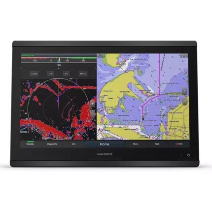
Garmin GPSMAP 8416 Chartplotter
$3,082.00
Garmin GPSMAP 8610 Chartplotter
$1,513.00
Garmin GPSMAP 8612 Chartplotter
$2,054.00
Garmin GPSMAP 9019 Chartplotter
$7,143.00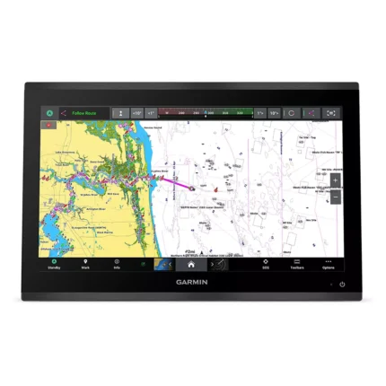
Reviews
There are no reviews yet.