
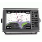
Garmin GPSMAP 6008 Network Chartplotter
$1,035.00
Garmin GPSMAP 6008 Network Chartplotter is a Garmin Marine Network helm chartplotter with included GPS 17x receiver and support for radar, sonar, XM weather, and optional BlueChart g2 Vision mapping.
Overview Garmin GPSMAP 6008 Network Chartplotter
Garmin GPSMAP 6008 Network Chartplotter is built to act as a charting hub within the Garmin Marine Network. It is intended for installations that want one main chartplotter display with support for shared data, remote sensors, and future network expansion.
The unit is supplied with a GPS 17x NMEA 2000 receiver and supports optional BlueChart g2 Vision mapping for 3D views, aerial photos, and Auto Guidance. It can also integrate sonar, radar, and XM weather data for a more complete helm setup.
Key Features
- Garmin Marine Network integration: Supports shared data with other chartplotters and connected sensors.
- Included GPS 17x receiver: Adds external GPS hardware for compatible installations.
- BlueChart g2 Vision support: Optional cards extend mapping with satellite imagery, aerial photos, and 3D chart perspectives.
- Weather and radar ready: Can display compatible XM weather data and Garmin radar information.
- NMEA 0183 and NMEA 2000 connectivity: Helps integrate the chartplotter into broader onboard electronics systems.
Applications
Suitable for helm installations where charting is the main task but radar, sonar, weather, and shared network data are also part of the system plan.
It fits cruising and fishing boats that want a central Garmin display with included GPS hardware and expansion paths already in place.
Specifications
| Product type | Network chartplotter |
| GPS hardware | GPS 17x NMEA 2000 receiver included |
| Network support | Garmin Marine Network |
| Interfaces | NMEA 0183 and NMEA 2000 |
| Mapping expansion | Optional BlueChart g2 Vision SD cards |
| Sensor support | Compatible with Garmin radar, sonar, and XM weather systems |
What’s Included
- GPSMAP 6008 unit
- Top and bottom snap covers
- Bail mount and knobs
- GPS 17x NMEA 2000 receiver
- Protective front cover
- Power cable
- Video cable
- NMEA 0183 cable
- NMEA 2000 drop cable
- NMEA 2000 10 m backbone cable
- NMEA 2000 power cable
- NMEA 2000 T-connector and terminator kit
- Flush mount hardware
- Flush mount gasket
- Marine grommet kit
- Manual case with user documentation
Frequently Asked Questions About Garmin GPSMAP 6008 Network Chartplotter
What does the Garmin GPSMAP 6008 Network Chartplotter offer for everyday navigation?
Garmin GPSMAP 6008 Network Chartplotter is built to serve as a dedicated chartplotter for everyday helm navigation. With its helm display, preloaded BlueChart g2 cartography, and stated performance features, it is positioned for chart handling, route work, and practical use within a connected marine setup.
What is this unit like in everyday navigation use?
This chartplotter centers navigation around a helm display that gives chart data enough working space without overcomplicating operation. The processing platform is described to keep chart browsing and menu response responsive at the helm.
Can this display work as part of a wider helm system?
This chartplotter is intended to work within a broader electronics layout by supporting Garmin Marine Network, NMEA 2000, and NMEA 0183 and radar connectivity where stated. This gives the display a stronger role as a central charting screen when other sensors or onboard data also need to be viewed at the helm.
Where does this unit make the most sense on board?
This chartplotter is most relevant for cruising boats and general navigation helms who need a dependable navigation screen at the helm. Its preloaded BlueChart g2 cartography also helps reduce setup time for boats that want charting ready from the start.
Related products
Garmin GPSMAP 1223 Chartplotter
$1,884.00
Garmin GPSMAP 1243 Chartplotter
$1,754.00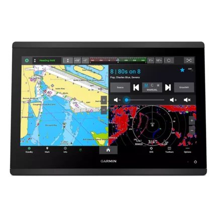
Garmin GPSMAP 1643 Chartplotter
$3,054.00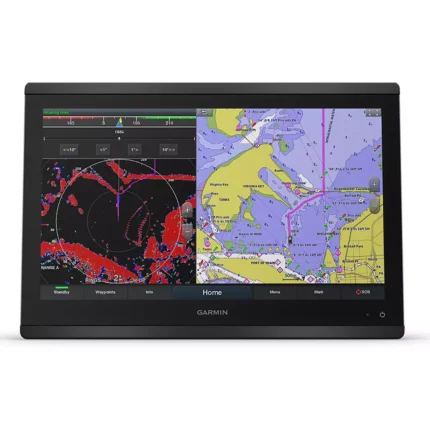
Garmin GPSMAP 8416 Chartplotter
$3,082.00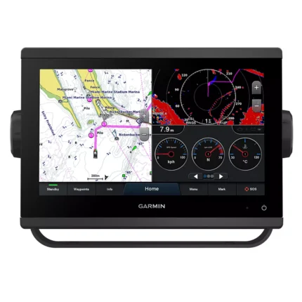
Garmin GPSMAP 923 Chartplotter
$974.00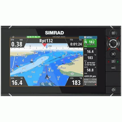
Simrad NSS7m evo2 Chartplotter
$539.00
Reviews
There are no reviews yet.