
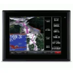
Garmin GPSMAP 8212 Multifunction Display
$2,430.00
Garmin GPSMAP 8212 Multifunction Display is a helm display built around a 12.1-inch XGA display for charting, radar, sonar, and onboard data management. It is designed for clean multi-function navigation with network-ready integration at the console.
Overview Garmin GPSMAP 8212 Multifunction Display
Garmin GPSMAP 8212 Multifunction Display is a marine multifunction display built around a 12.1-inch XGA display that centralizes charting, radar, sonar, and vessel information at the helm. The 1024 x 768 Pixels screen gives a clear working view for route planning, monitoring onboard data, and switching between key navigation pages.
Garmin GPSMAP 8212 Multifunction Display fits modern helm layouts that depend on networked electronics and fast access to onboard information. Multi-touch Touchscreen (Anti-glare); BlueChart g2 (US Coastal); External GPS 19x (NMEA 2000); NMEA 2000 and Garmin Marine Network.
Key Features
- Display clarity: Uses a 12.1-inch XGA display with 1024 x 768 Pixels so sonar, charts, and system data remain easier to read from the helm.
- Positioning: External GPS 19x (NMEA 2000) keeps chart position and waypoint updates responsive for navigation and return-to-spot accuracy.
- Chart support: BlueChart g2 (US Coastal) supports route planning and local detail without forcing a generic navigation setup.
- System integration: NMEA 2000 and Garmin Marine Network allows the unit to share data with compatible marine electronics and sensors.
- User interface: Multi-touch Touchscreen (Anti-glare) helps with faster screen changes and chart control at the helm.
- Marine-ready construction: IPX7 Standards supports use in exposed marine environments.
Applications
This model works well as a primary helm display on cruising boats and pilot-house setups that need a strong balance between screen size and console space. It is especially useful for operators who want charting, radar overlay, and networked onboard data available from one central screen.
The 12.1-inch format makes it easier to run split views without moving into the footprint of a larger display, which can help on helms where space is valuable.
Specifications
| Display Size | 12.1 Inches Diagonal (XGA) |
| Display Resolution | 1024 x 768 Pixels |
| Interface | Multi-touch Touchscreen (Anti-glare) |
| GPS Antenna | External GPS 19x (NMEA 2000) |
| Networking | NMEA 2000 and Garmin Marine Network |
| Preloaded Mapping | BlueChart g2 (US Coastal) |
| Waterproof Rating | IPX7 Standards |
| Power Usage | 35W (Max at 10 Vdc) |
| Weight | 11.4 lb (5.2 kg) |
| Waypoints / Routes | 5,000 Waypoints / 100 Routes |
| Product Warranty | 12-Month Standard Marine Warranty |
What’s Included
- Garmin GPSMAP 8212 with BlueChart g2 US Coastal coverage
- GPS 19x NMEA 2000 external antenna with multiple mount options
- Garmin external USB card reader
- Bail mount and knobs
- Flush mount gasket and installation hardware
- Protective silicone front cover
- NMEA 2000 backbone and power cable kit
- NMEA 0183 and power cables
- Documentation set
Related products

B&G Zeus SR 10 Sailing Chartplotter
$1,884.00
B&G Zeus3S 12 Sailing Chartplotter
$2,999.00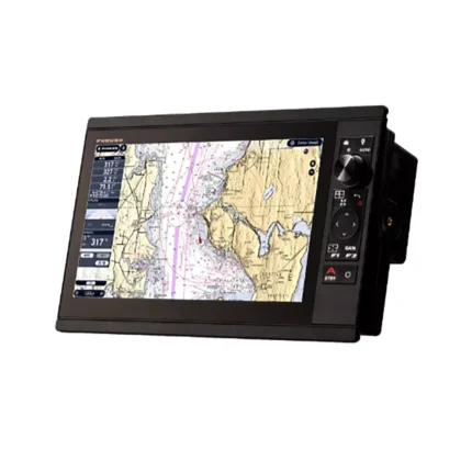
Furuno TZT13X Multifunction Display
$2,596.00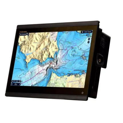
Reviews
There are no reviews yet.