
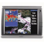
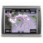
Garmin GPSMAP 720 Chartplotter
$378.00
Garmin GPSMAP 720 Chartplotter is a 7-inch marine chartplotter designed for clear, fast route planning and day-to-day navigation. It supports High-Sensitivity (Internal) and NMEA 2000 and NMEA 0183 for dependable chart handling and helm integration.
Overview Garmin GPSMAP 720 Chartplotter
Garmin GPSMAP 720 Chartplotter is a 7-inch marine chartplotter designed for clear, fast route planning and day-to-day navigation. It supports High-Sensitivity (Internal) and NMEA 2000 and NMEA 0183 for dependable chart handling and helm integration. Key onboard capabilities include 800 x 480 pixels (WVGA), High-Sensitivity (Internal), NMEA 2000 and NMEA 0183.
In practical coastal use, a captain can utilize the 7-inch display as a primary command center. By utilizing the BlueChart g2 Vision data, the operator can see a 3D perspective of the harbor entrance, allowing them to identify landmarks and navigation aids with ease.
Key Features
- Brilliant 7-Inch Touchscreen Interface: The high-resolution display offers a bright, sunlight-readable view with a multi-touch interface. It allows for quick panning and zooming, ensuring that critical navigation data is always accessible with a single tap.
- High-Sensitivity Internal GPS Receiver: This built-in receiver updates your position and heading multiple times per second, providing smooth and accurate tracking that is essential for maintaining precise boat positioning over waypoints or during high-speed transit.
- BlueChart g2 Vision Support: By adding an optional SD card, users can unlock premium features like Auto Guidance technology, which suggests the safest course to a destination based on the boat’s specific draft and height. This also enables 3D “Mariner’s Eye” and “Fish Eye” views for a more comprehensive perspective above and below the waterline.
- NMEA 2000 Connectivity: The unit is designed for easy system integration, allowing you to interface with a wide range of NMEA 2000 sensors. Monitor engine vitals, fuel flow, and tank levels directly on the
- Dedicated Radar Port: For those navigating in low-visibility conditions or at night, the unit includes a built-in radar port. This allows for the direct connection of Garmin GMR marine radar systems, providing target tracking and safety overlays on your primary charts.
- Rugged Waterproof Design: Built to withstand the harsh vibrations and corrosive salt air of the maritime environment, the chassis is rated to IPX7 waterproof standards, ensuring it remains operational through heavy rain or accidental splashes.
Applications
In practical coastal use, a captain can utilize the 7-inch display as a primary command center. By utilizing the BlueChart g2 Vision data, the operator can see a 3D perspective of the harbor entrance, allowing them to identify landmarks and navigation aids with ease.
When navigating through a foggy harbor, the integrated radar support allows the crew to track other vessels and obstacles in real-time, significantly reducing the stress of tight maneuvers. For freshwater anglers, the 3D “Fish Eye” view provides a tactical advantage by rendering bottom contours and underwater structure in a clear, three-dimensional format.
Specifications
| Display Size | 7.0 inches Diagonal |
| Resolution | 800 x 480 pixels (WVGA) |
| Display Type | Resistive Touchscreen |
| GPS Receiver | High-Sensitivity (Internal) |
| Networking | NMEA 2000 and NMEA 0183 |
| Expansion | 1x SD Card Slot (Map Data) |
| Waterproof Rating | IPX7 Standards |
| Operating Voltage | 10V – 32V DC |
| Product Warranty | 1-Year Limited Manufacturer Warranty |
What’s Included
- 1x Garmin GPSMAP 720 Chartplotter Unit
- 1x Power and Data Cable Kit
- 1x Bail Mount with Knobs
- 1x Flush Mount Gasket and Hardware
- 1x Protective Front Sun Cover
- 1x Marine Grommet Kit
- 1x Installation and User Documentation
Frequently Asked Questions About Garmin GPSMAP 720 Chartplotter
What is the Garmin GPSMAP 720 Chartplotter designed for?
Garmin GPSMAP 720 Chartplotter is built to serve as a dedicated chartplotter for everyday helm navigation. With its 7-inch display with 800 x 480 pixels (WVGA), preloaded BlueChart g2 cartography, and stated performance features, it is positioned for chart handling, route work, and practical use within a connected marine setup.
How does this display support quick chart interaction?
This chartplotter uses a 7-inch display with 800 x 480 pixels (WVGA) and touchscreen interface to make chart browsing, menu access, and route adjustments more direct at the helm. The processing platform is described to keep chart browsing and menu response responsive at the helm.
Can this display work as part of a wider helm system?
This chartplotter is intended to work within a broader electronics layout by supporting NMEA 2000 and NMEA 0183 and radar connectivity where stated. This gives the display a stronger role as a central charting screen when other sensors or onboard data also need to be viewed at the helm.
Where does this unit make the most sense on board?
This chartplotter makes the most sense for anglers that want a chartplotter focused on route work, visibility, and helm integration. Its preloaded BlueChart g2 cartography also helps reduce setup time for boats that want charting ready from the start.
Related products
Garmin GPSMAP 1243 Chartplotter
$1,754.00
Garmin GPSMAP 743 Chartplotter
$640.00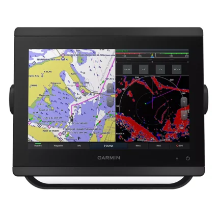
Garmin GPSMAP 8412 Chartplotter
$2,000.00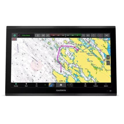
Garmin GPSMAP 9022 Chartplotter
$7,539.00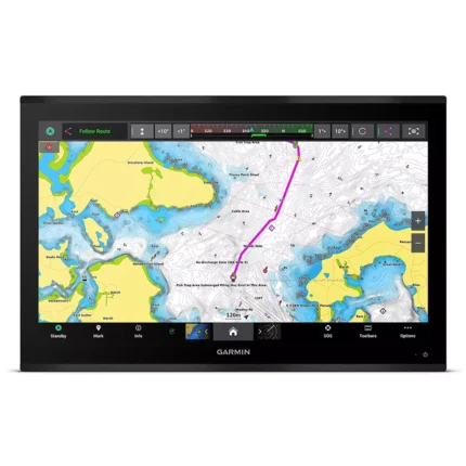
Garmin GPSMAP 9027 Chartplotter
$10,199.00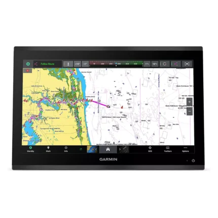
Garmin GPSMAP 9219 Chartplotter
$6,629.00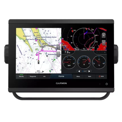
Garmin GPSMAP 923 Chartplotter
$974.00
Reviews
There are no reviews yet.