

Garmin GPSMAP 721 Chartplotter
$449.00
Garmin GPSMAP 721 Chartplotter is a 7-inch marine chartplotter designed for clear, fast route planning and day-to-day navigation. It supports 10 Hz GPS/GLONASS (Internal) and NMEA 2000, NMEA 0183, and Wireless for dependable chart handling and helm integration.
Overview Garmin GPSMAP 721 Chartplotter
Garmin GPSMAP 721 Chartplotter is a 7-inch marine chartplotter designed for clear, fast route planning and day-to-day navigation. It supports 10 Hz GPS/GLONASS (Internal) and NMEA 2000, NMEA 0183, and Wireless for dependable chart handling and helm integration. Key onboard capabilities include 800 x 480 pixels (WVGA), 10 Hz GPS/GLONASS (Internal), NMEA 2000, NMEA 0183, and Wireless.
In practical scenario, an offshore angler can utilize the 10 Hz update rate to track their drift with incredible precision while hovering over a deep-water reef. Because the vessel icon moves without the stuttering common in slower units, the captain can maintain a perfect position relative to the underwater structure.
Key Features
- Superfast 10 Hz GPS/GLONASS Receiver: This industry-leading receiver updates your position and heading ten times per second. This high-frequency update rate results in exceptionally fluid vessel movement on the screen, which is a massive advantage over standard 1 Hz units when you are trying to navigate precisely back to a specific fishing spot or a narrow channel entry.
- Intuitive Pinch-to-Zoom Display: The 7-inch WVGA touchscreen provides a tablet-like experience with high-resolution clarity. The pinch-to-zoom functionality allows you to adjust your view instantly, ensuring that critical navigation aids and depth contours are always easy to interpret regardless of the lighting conditions.
- Marine Network Integration: Fully compatible with NMEA 2000 and NMEA 0183 networking, this unit serves as a versatile hub for your boat. It allows for seamless integration with autopilots, radar systems, and digital switching, bringing all your ship’s data into a single, organized interface.
- Wireless Connectivity: Built-in wireless features enable easy data sharing and the use of specialized marine applications. This allows the crew to manage waypoints and routes from mobile devices, extending the power of the helm to anywhere on the vessel.
- Waypoint Capacity: With the ability to store up to 5,000 waypoints and 100 routes, the system allows you to build a comprehensive library of your favorite locations and safe passages, ensuring you can return to productive waters with pinpoint accuracy every time.
- Flexible Mounting Solutions: Designed to fit any cockpit layout, the unit supports bail mounting for traditional setups, flush mounting for a professional “glass helm” appearance, or flat mounting for a streamlined, modern look.
Applications
In practical scenario, an offshore angler can utilize the 10 Hz update rate to track their drift with incredible precision while hovering over a deep-water reef. Because the vessel icon moves without the stuttering common in slower units, the captain can maintain a perfect position relative to the underwater structure.
The high-speed processor ensures that when the operator switches from a wide-angle coastal view to a detailed bathymetric chart, the map renders instantly without losing focus. For those navigating complex inland waterways or busy coastal shipping lanes, the integration of radar and NMEA 2000 connectivity provides a critical safety layer.
Specifications
| Display Size | 7.0 inches Diagonal |
| Resolution | 800 x 480 pixels (WVGA) |
| Display Type | Multi-Touch with Pinch-to-Zoom |
| Processor | 60% Faster High-Performance Processor |
| GPS Receiver | 10 Hz GPS/GLONASS (Internal) |
| Networking | NMEA 2000, NMEA 0183, and Wireless |
| Expansion | 1x SD Card Slot (Map Data) |
| Waterproof Rating | IPX7 Standards |
| Product Warranty | 1-Year Limited Manufacturer Warranty |
What’s Included
- 1x Garmin GPSMAP 721 Chartplotter Unit
- 1x Power and Data Cable Kit
- 1x Bail Mount and Knobs
- 1x Flush Mount Gasket and Hardware
- 1x Protective Front Sun Cover
- 1x Marine Grommet Kit
- 1x Installation and User Documentation
Frequently Asked Questions About Garmin GPSMAP 721 Chartplotter
What is the Garmin GPSMAP 721 Chartplotter designed for?
Garmin GPSMAP 721 Chartplotter is designed as a helm navigation display for mariners who need clear chart viewing and reliable onboard integration. Its 7-inch display with 800 x 480 pixels (WVGA) and preloaded inland mapping for more than 14,000 U.S.
What is the screen experience like in daily use?
The 7-inch display with 800 x 480 pixels (WVGA) gives this chartplotter a clear working area for charts and menu control at the helm. Its touchscreen layout keeps route changes more direct, while the processor is intended to keep chart browsing and panning responsive during routine navigation.
What networking support does this unit provide?
This chartplotter supports NMEA 2000 and NMEA 0183 and radar connectivity where stated, which helps it exchange navigation data and serve as part of a broader helm installation. That is useful when charting needs to sit alongside vessel data, shared maps, or connected marine sensors on the same system.
What kind of boating setup is this chartplotter best suited to?
This chartplotter makes the most sense for cruising boats and connected helms that want a chartplotter focused on route work, visibility, and helm integration. Its preloaded inland mapping for more than 14,000 U.S. lakes and rivers also helps reduce setup time for boats that want charting ready from the start.
Related products
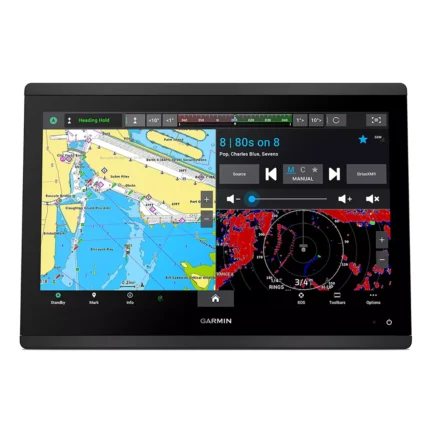
Garmin GPSMAP 1643 Chartplotter
$3,054.00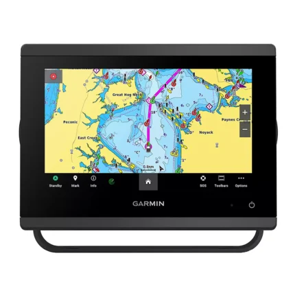
Garmin GPSMAP 743 Chartplotter
$640.00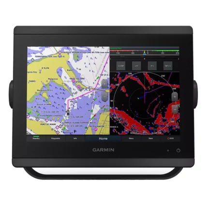
Garmin GPSMAP 8410 Chartplotter
$1,513.00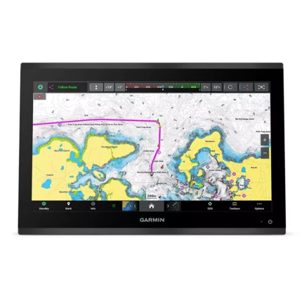
Garmin GPSMAP 9019 Chartplotter
$7,143.00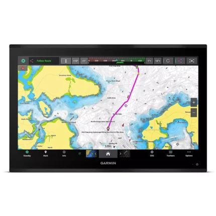
Garmin GPSMAP 9027 Chartplotter
$10,199.00
Raymarine Axiom+ 9 Chartplotter
$756.00
Simrad NSS9m evo2 Chartplotter
$1,125.00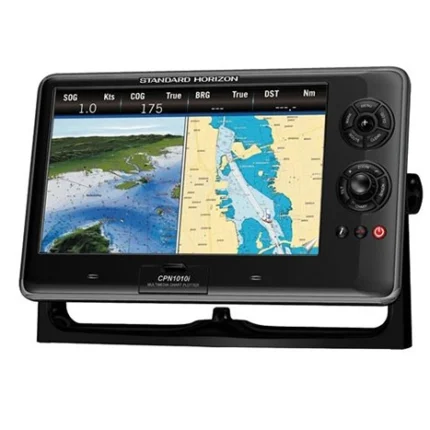
Reviews
There are no reviews yet.