
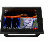
Garmin GPSMAP 7610 Multifunction Display
$1,350.00
Garmin GPSMAP 7610 Multifunction Display is a 10.1-inch network-ready marine display built for charting, monitoring, and multi-window helm use. It supports 10 Hz Internal GPS/GLONASS and NMEA 2000, NMEA 0183, Garmin Marine Network Wireless for smooth integration with radar, sonar, and onboard instruments. It also supports fast chart redraws and networked helm layouts for cruising and sailing use.
Overview Garmin GPSMAP 7610 Multifunction Display
Garmin GPSMAP 7610 Multifunction Display is a 10.1-inch network-ready marine display built for charting, monitoring, and multi-window helm use. It supports 10 Hz Internal GPS/GLONASS and NMEA 2000, NMEA 0183, Garmin Marine Network Wireless for smooth integration with radar, sonar, and onboard instruments. It also supports fast chart redraws and networked helm layouts for cruising and sailing use. Key onboard capabilities include 1280 x 800 pixels (WXGA), 10 Hz Internal GPS/GLONASS, NMEA 2000, NMEA 0183, Garmin Marine Network Wireless.
In a competitive racing scenario, the “Pre-race Guidance” page provides a virtual starting line alongside data fields showing laylines, time to burn before the start, and a race timer. This level of data integration gives racers a useful advantage in tactical decision-making.
Key Features
- High-Resolution Multi-Touch Display: The 10-inch WXGA widescreen provides a massive canvas for viewing charts, radar, and sonar simultaneously. The capacitive touch technology allows for “pinch-to-zoom” and other intuitive gestures, making operation fluid even in rough sea conditions.
- 10 Hz Internal GPS: Precision is paramount at sea. The high-sensitivity internal GPS ensures that your vessel’s position is refreshed 10 times every second, providing significantly smoother tracking than standard
- Full Marine Networking: This unit is fully networkable, supporting the Garmin Marine Network and NMEA 2000. You can easily share data between multiple displays, including radar, autopilot, and thermal cameras, creating a truly integrated marine electronics suite.
- Sailing Features: For those powered by the wind, the system includes specialized sailing tools such as laylines, enhanced wind rose, heading and course-over-ground lines, and true wind data fields.
- Built-In Wireless Connectivity: Integrated Wi-Fi and ANT technology allow the chartplotter to sync with the Garmin Helm app and BlueChart Mobile, enabling you to control and view your screen from a smartphone or tablet anywhere on the boat.
- Expandable Mapping and Storage: With two SD card slots, users can easily upgrade to premium BlueChart g2 Vision or LakeVü HD Ultra maps, adding features like Auto Guidance and 3D perspectives above and below the waterline.
Applications
In a competitive racing scenario, the “Pre-race Guidance” page provides a virtual starting line alongside data fields showing laylines, time to burn before the start, and a race timer. This level of data integration gives racers a useful advantage in tactical decision-making.
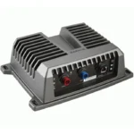
For long-distance cruisers, the ability to integrate FLIR thermal cameras and IP cameras directly into the 10-inch display enhances safety during night passages or when docking in crowded marinas. Furthermore, this unit excels as a hub for fishing operations when paired with GSD black box sonar modules.
Specifications
| Display Size | 10.1 inches Diagonal |
| Resolution | 1280 x 800 pixels (WXGA) |
| Display Type | Multi-touch Widescreen LCD |
| GPS Receiver | 10 Hz Internal GPS/GLONASS |
| Networking | NMEA 2000, NMEA 0183, Garmin Marine Network Wireless |
| Waterproof Rating | IPX7 Standards |
| Product Warranty | 1-Year Limited Manufacturer Warranty |
What’s Included
- 1x Garmin GPSMAP 7610 Chartplotter with Preloaded Maps
- 1x Power/Data Cable
- 1x NMEA 2000 Drop Cable
- 1x T-connector
- 1x Bail Mount with Knobs
- 1x Flush Mount Kit
- 1x Protective Cover
- 1x Documentation and Installation Manual
Frequently Asked Questions About Garmin GPSMAP 7610 Multifunction Display
Who is Garmin GPSMAP 7610 Multifunction Display aimed at on the water?
Garmin GPSMAP 7610 Multifunction Display is designed for skippers who want chart navigation and sailing data in one helm display. It combines its 10.1-inch format with Laylines, plus a 10 Hz GPS/GNSS receiver, making it useful for club racing and tactical sailing and yachts and sailboats.
What kind of interface does this sailing chartplotter offer on board?
This sailing chartplotter uses a 10.1-inch screen to keep charts and data readable through normal helm use. It also offers touchscreen control, so the operator can choose the control method that best fits the conditions.
How does this sailing chartplotter fit into a connected marine electronics system?
This sailing chartplotter supports NMEA 2000, NMEA 0183, and Wi-Fi, plus onboard charting. That helps the unit exchange navigation, instrument, and sensor data across the boat. It is intended to work as part of a broader onboard electronics setup rather than in isolation.
Is this sailing chartplotter better suited to cruising, racing, or mixed use?
This sailing chartplotter works well for mixed cruising and racing use, especially when the crew wants both charting and tactical sailing data in one place. Its stated features support day-to-day passage work as well as more performance-focused sailing sessions.
Related products
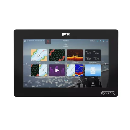
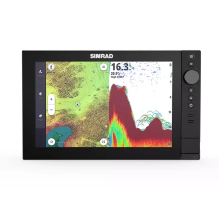
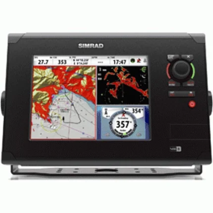
B&G Zeus SR 10 Sailing Chartplotter
$1,884.00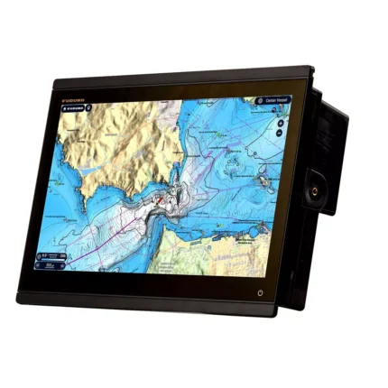
Furuno TZT16X Multifunction Display
$4,026.00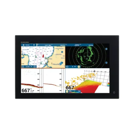
Furuno TZT19F Multifunction Display
$3,896.00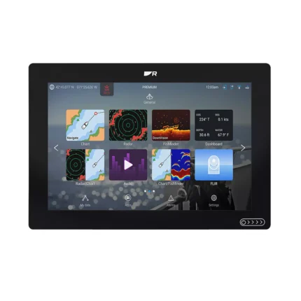
Reviews
There are no reviews yet.