

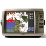
Garmin GPSMAP 4212 Network Chartplotter
$1,079.00
Garmin GPSMAP 4212 Network Chartplotter is a big-screen 12.1-inch navigation display for integrated Garmin helms. It combines detailed BlueChart g2 coastal mapping, Garmin Marine Network connectivity, video support, and NMEA 2000 integration in one chart-focused unit.
Overview Garmin GPSMAP 4212 Network Chartplotter
Garmin GPSMAP 4212 Network Chartplotter is built for helms that need a large-format navigation display with strong networking capability. The 12.1-inch XGA sunlight-readable screen is designed for clear chart viewing at the helm, while the streamlined flush-mount style gives the installation a clean flat-panel look.
This model comes preloaded with BlueChart g2 coastal U.S. cartography, Bahamas coverage and worldwide satellite imagery, and it can be expanded with optional BlueChart g2 Vision data. Three built-in network ports, video inputs, NMEA 2000 and NMEA 0183 support make it suitable for multi-device navigation systems that also use radar, sonar, AIS, DSC and onboard cameras.
Key Features
- Large helm display: The 12.1-inch XGA screen with 1400 nits brightness supports chart readability in direct sunlight.
- Preloaded coastal charting: BlueChart g2 data for the coastal United States, Alaska, Hawaii and the Bahamas gives the plotter strong out-of-box coverage.
- Network integration: Three built-in Garmin Marine Network ports allow connection to compatible radar, sounder and weather modules.
- Expanded situational awareness: Optional BlueChart g2 Vision support adds high-resolution satellite imagery, aerial photography and 3D views.
- Video and communications support: Two video inputs, NMEA 2000 and multiple NMEA 0183 ports support broader helm integration including AIS and DSC.
- Helm-friendly controls: A streamlined interface, alphanumeric keypad and auto-dimming backlit display support day and night use.
Applications
- Primary navigation display on larger coastal and offshore helms.
- Garmin network systems that combine charting with radar, weather overlays and sonar modules.
- Installations that also need onboard camera viewing and AIS or DSC data integration.
Specifications
| Display | 12.1-inch XGA sunlight-readable display, 1024 x 768 pixels, 1400 nits |
| Chart data | Worldwide satellite imagery; BlueChart g2 coastal U.S. cartography with Bahamas Explorer charts |
| GPS | WAAS-enabled 12 parallel channel GPS sensor |
| Networking | 3 built-in Garmin Marine Network ports |
| Video | 2 video inputs and XGA PC monitor video output |
| Data interfaces | NMEA 2000; 4 NMEA 0183 inputs and 2 NMEA 0183 outputs |
| Water rating | IPX7 |
| Optional chart expansion | BlueChart g2 Vision support |
What’s Included
- GPSMAP 4212
- Bail mount and knobs
- GPS 17 (flush mount or use included pole mount adapter)
- Protective front cover
- Power cable assembly
- Video cable assembly
- Flush mount hardware
- In-line fuse kit for GPS 17
- Marine grommet kit
- Crimp connectors
- Owner’s Manual and Quick Reference Guide
Frequently Asked Questions About Garmin GPSMAP 4212 Network Chartplotter
What does the Garmin GPSMAP 4212 Network Chartplotter offer for everyday navigation?
Garmin GPSMAP 4212 Network Chartplotter is designed as a helm navigation display for mariners who need clear chart viewing and reliable onboard integration. Its 12.1-inch display with 1024 x 768 pixels and preloaded BlueChart g2 coverage for the USA and Bahamas support route planning and day-to-day navigation, while the stated processing platform helps keep helm.
What is this unit like in everyday navigation use?
This chartplotter centers navigation around a 12.1-inch display with 1024 x 768 pixels that gives chart data enough working space without overcomplicating operation. The processing platform is described to keep chart browsing and menu response responsive at the helm.
How does this chartplotter integrate with other onboard electronics?
This chartplotter is intended to work within a broader electronics layout by supporting Garmin Marine Network, NMEA 2000, NMEA 0183, and three built-in network ports, camera input support, and radar connectivity where stated.
What kind of boating setup is this chartplotter best suited to?
This chartplotter is most relevant for cruising boats and general navigation helms who need a dependable navigation screen at the helm. Its preloaded BlueChart g2 coverage for the USA and Bahamas also helps reduce setup time for boats that want charting ready from the start.
Related products
Garmin GPSMAP 1022 Chartplotter
$909.00
Garmin GPSMAP 1243 Chartplotter
$1,754.00
Garmin GPSMAP 1623 Chartplotter
$3,184.00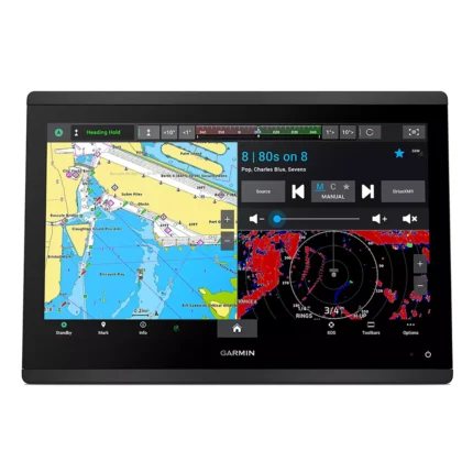
Garmin GPSMAP 1643 Chartplotter
$3,054.00
Garmin GPSMAP 8410 Chartplotter
$1,513.00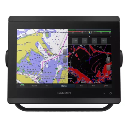
Garmin GPSMAP 8412 Chartplotter
$2,000.00
Garmin GPSMAP 9024 Chartplotter
$8,839.00
Reviews
There are no reviews yet.