

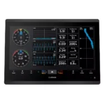
Garmin GPSMAP 1623 Chartplotter
$3,184.00
Garmin GPSMAP 1623 Chartplotter is a 16-inch chartplotter built for fast navigation and clean helm integration, combining 16-inch High-Resolution Touchscreen (Sunlight Readable), a high-speed processor, Garmin Marine Network support.
Overview Garmin GPSMAP 1623 Chartplotter
Garmin GPSMAP 1623 Chartplotter is a chartplotter built for mariners who need fast chart handling, clear screen visibility, and reliable system integration at the helm. It combines 16-inch, High-Resolution Touchscreen (Sunlight Readable), Advanced High-Speed CPU, with support for NMEA 2000, NMEA 0183, Garmin Marine Network.
The Garmin GPSMAP 1623 is the advanced choice for boaters outfitting mid-to-large sized cruisers, sportfishing vessels, or professional sailing yachts where maximum screen real estate is non-negotiable. Because the processing power is highly optimized, you can zoom and pan through your route with zero stutter, providing better confidence during high-traffic maneuvers.
Key Features
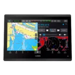
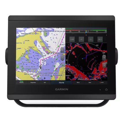
- Display and visibility: 16-inch, High-Resolution Touchscreen (Sunlight Readable). This supports clear chart viewing and better readability at the helm.
- Processing platform: Advanced High-Speed CPU. It helps keep menu response, chart redraws, and split-screen operation smooth.
- Networking and integration: NMEA 2000, NMEA 0183, Garmin Marine Network. Compatible networking helps the unit share charts, radar, sensors, cameras, and other onboard data where supported.
- System expansion: J1939 Connectivity (Yamaha Compatible). This is useful when the display is part of a broader helm installation with engine or digital-switching integration.
- Wireless connectivity: Wi-Fi, ANT, and Bluetooth. Wireless links help with device pairing, data sharing, and chart or software workflows where supported.
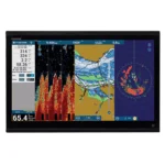
- Sonar compatibility: LiveScope™ and Panoptix™ Compatible. This allows the display to work with supported sonar sources when building a larger system.
Applications
The Garmin GPSMAP 1623 is the advanced choice for boaters outfitting mid-to-large sized cruisers, sportfishing vessels, or professional sailing yachts where maximum screen real estate is non-negotiable. Because the processing power is highly optimized, you can zoom and pan through your route with zero stutter, providing better confidence during high-traffic maneuvers.
Its slimline design and reduced footprint also make it an ideal candidate for retrofitting into dash configurations that previously could only accommodate smaller units.
Specifications
| Display Size | 16.0 inches Diagonal IPS |
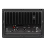
| Unit Dimensions | 15.1″ x 10.3″ x 3.0″ |
| Display Type | High-Resolution Touchscreen (Sunlight Readable) |
| Processor | Advanced High-Speed CPU |
| Sonar Support | LiveScope™ and Panoptix™ Compatible |
| Engine Support | J1939 Connectivity (Yamaha Compatible) |
| Networking | NMEA 2000, NMEA 0183, Garmin Marine Network |
| Wireless | Wi-Fi, ANT, and Bluetooth |
| Waterproof Rating | Marine-Grade Professional Standard |
| Unit Weight | 9.7 lbs (4.4 kg) |
What’s Included
- 1x Garmin GPSMAP 1623 Chartplotter
- 1x microSD™ Card (Preinstalled)
- 1x Power Cable
- 1x NMEA 2000 T-connector and NMEA 2000 Drop Cable
- 1x Flush Mount Kit with Gasket
- 1x Protective Suncover and Trim Piece Snap Covers
- 1x Comprehensive Documentation Pack
Frequently Asked Questions About Garmin GPSMAP 1623 Chartplotter
Who is the Garmin GPSMAP 1623 Chartplotter intended for on board?
Garmin GPSMAP 1623 Chartplotter is designed as a helm navigation display for mariners who need clear chart viewing and reliable onboard integration. The 16-inch display and stated processing platform support route planning and day-to-day navigation while keeping chart work responsive at the helm.
How does this display support quick chart interaction?
The 16-inch display gives this chartplotter a clear working area for charts and menu control at the helm. Its touchscreen layout keeps route changes more direct, while the processor is intended to keep chart browsing and panning responsive during routine navigation.
What networking support does this unit provide?
This chartplotter is intended to work within a broader electronics layout by supporting Garmin Marine Network, NMEA 2000, and NMEA 0183, camera input support, and radar connectivity where stated. This gives the display a stronger role as a central charting screen when other sensors or onboard data also need to be viewed at the helm.
Who is this display most relevant for?
This chartplotter makes the most sense for cruisers and sportfishing boats that want a chartplotter focused on route work, visibility, and helm integration. That balance is useful when helm space, visibility, and quick access all matter underway.
Related products
Garmin GPSMAP 8410 Chartplotter
$1,513.00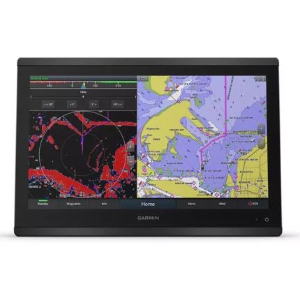
Garmin GPSMAP 8416 Chartplotter
$3,082.00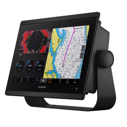
Garmin GPSMAP 8612 Chartplotter
$2,054.00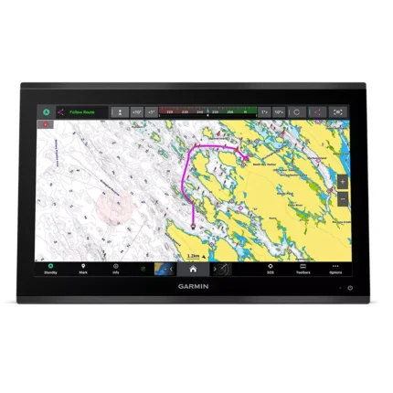
Garmin GPSMAP 9022 Chartplotter
$7,539.00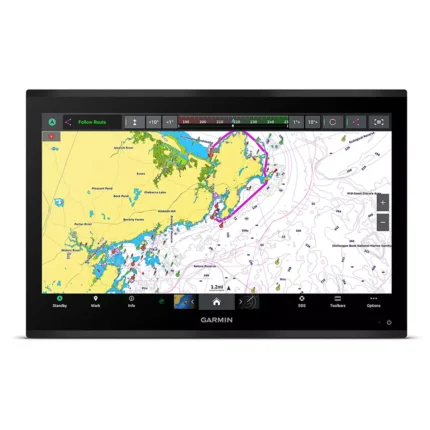
Garmin GPSMAP 9224 Chartplotter
$8,904.00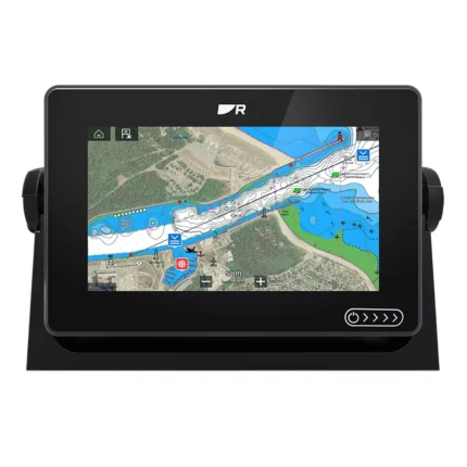
Raymarine Axiom+ 7 Chartplotter
$475.00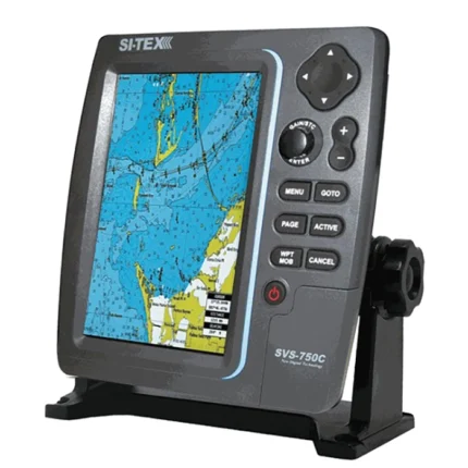
SI-TEX SVS-750C Chartplotter
$351.00
Reviews
There are no reviews yet.