
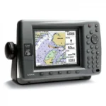
Garmin GPSMAP 3205 Network Chartplotter
$360.00
Garmin GPSMAP 3205 Network Chartplotter is a compact 5-inch marine chartplotter with preloaded U.S. BlueChart g2 mapping and Garmin Marine Network integration. It can operate as a standalone plotter or as part of a broader helm system with radar, sonar, and weather data.
Overview Garmin GPSMAP 3205 Network Chartplotter
The Garmin GPSMAP 3205 Network Chartplotter is a compact marine navigation display for operators who want Garmin Marine Network support in a smaller format. It combines a 5-inch color screen with preloaded U.S. coastal mapping based on BlueChart g2 cartography, including Alaska and Hawaii coverage.
This model can run as a standalone chartplotter or be integrated with other Garmin displays and sensors for a more complete helm system. Its focus is straightforward chart handling, quick soft-key access, and practical navigation tools rather than the larger-screen features offered by higher models in the same family.
Key Features
- 5-inch color display provides a compact helm footprint while keeping chart data readable for smaller consoles.
- Preloaded U.S. coastal BlueChart g2 mapping, including Alaska and Hawaii, reduces setup time for coastal navigation.
- Garmin Marine Network compatibility allows the unit to work with other MFDs and sensors for radar, sonar, and weather integration.
- Supports both 2D overhead chart view and 3D Mariner’s Eye perspective for different navigation preferences.
- Soft-key shortcuts help with quick access to commonly used functions such as declutter and map handling.
- BlueChart g2 layering supports smoother panning, scrolling, and zooming for easier chart interpretation.
Applications
- Smaller helms that need a compact dedicated chartplotter rather than a larger multifunction display.
- Boats already using Garmin Marine Network accessories that want an additional navigation screen.
- Coastal navigation where built-in chart coverage and simple chart handling are more important than advanced sonar features.
Specifications
| Display | 5-inch color display |
| Mapping | Preloaded U.S. coastal BlueChart g2 maps including Alaska and Hawaii |
| Networking | Garmin Marine Network |
| Views | 2D overhead and 3D Mariner’s Eye |
| Use Mode | Standalone or networked chartplotter |
What’s Included
- GPSMAP 3205 chartplotter
- Documentation
Frequently Asked Questions About Garmin GPSMAP 3205 Network Chartplotter
What is the Garmin GPSMAP 3205 Network Chartplotter designed for?
Garmin GPSMAP 3205 Network Chartplotter is designed as a helm navigation display for mariners who need clear chart viewing and reliable onboard integration. Its 5-inch display and preloaded BlueChart g2 cartography support route planning and day-to-day navigation, while the stated processing platform helps keep helm use responsive.
What is this unit like in everyday navigation use?
This chartplotter centers navigation around a 5-inch display that gives chart data enough working space without overcomplicating operation. The processing platform is described to keep chart browsing and menu response responsive at the helm.
What networking support does this unit provide?
This chartplotter is intended to work within a broader electronics layout by supporting Garmin Marine Network and radar connectivity where stated. This gives the display a stronger role as a central charting screen when other sensors or onboard data also need to be viewed at the helm.
What kind of boating setup is this chartplotter best suited to?
This chartplotter is most relevant for cruising boats and general navigation helms who need a dependable navigation screen at the helm. Its preloaded BlueChart g2 cartography also helps reduce setup time for boats that want charting ready from the start.
Related products
Garmin GPSMAP 743 Chartplotter
$640.00
Garmin GPSMAP 8410 Chartplotter
$1,513.00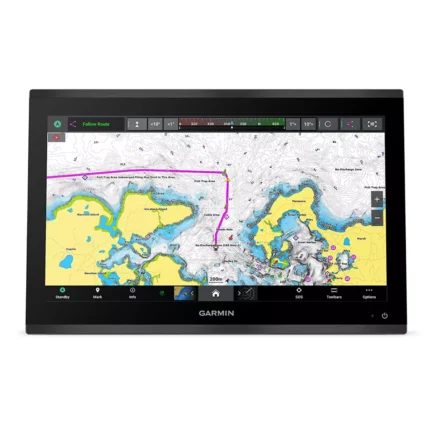
Garmin GPSMAP 9019 Chartplotter
$7,143.00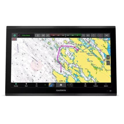
Garmin GPSMAP 9022 Chartplotter
$7,539.00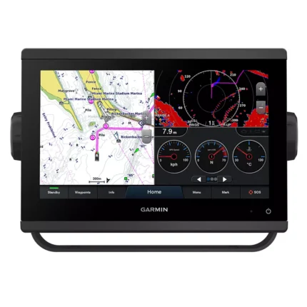
Garmin GPSMAP 923 Chartplotter
$974.00
Raymarine Axiom+ 7 Chartplotter
$475.00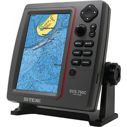
SI-TEX SVS-760C Chartplotter
$396.00
Reviews
There are no reviews yet.